

Rotbachlspitze - Südvariante
Description
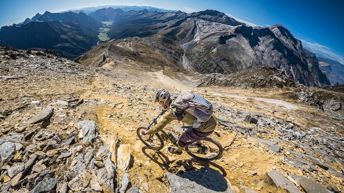
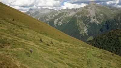
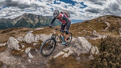
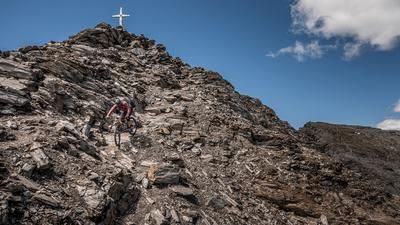
The tour begins in the upper Pfitschtal valley. From here, the Vallo Alpino military road leads toward the Pfitscherjochhaus with a steady climb and breathtaking panoramic views. Upon reaching the border between Italy and Austria, you’ll be rewarded with an impressive mountain panorama of the main Alpine ridge and the Zillertal Alps. You’ll then push or carry your mountain bike over the small Rotbachlspitze to an elevation of just under 2,900 meters above sea level. In the upper section, at around 2,650 meters above sea level, you’ll need to carry your mountain bike along the ridge. This section must also be navigated by pushing your bike on the descent. From the summit, the view extends to the Hochfeiler—the highest peak in the Zillertal Alps—as well as to the mighty 3,000-meter peaks: the Olperer, the Gefrorene Wand, and the Hoher Riffler. With glaciers and good visibility—especially in the fall—the panorama is second to none.
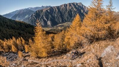
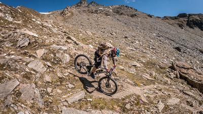
The descent begins at 2,897 meters above sea level, initially with difficulty level S3, occasionally S4. On loose sand and gravel, and in some very tight kick turns, kick-turn technique is required. This is followed by the aforementioned portage section, for which you should allow about ten minutes. The route then continues smoothly at difficulty levels S2 and S3, steadily descending to the Pfitscherjochhaus, where you can also stop for a break. The remainder of the descent into the Pfitschtal is rated S2 and S3, depending on trail conditions and weather. At Gasthof Stein, the trail winds along the cart path toward Kinzen, where the tour ends. Overall, this is a very impressive tour that ranks among the best in terms of views and trail quality, though it does include a short section where you’ll need to push your bike in the middle section.
Note: The route is located on Austrian territory and leads over routes that are not approved for mountain bikers. Riding this route on a mountain bike is the responsibility of each individual, in full awareness of the legal situation.
Map & GPX-Track
The map is only available to Ride subscribers.
The Ride-Subscription is available at ride-mtb.com/abo
.
Details of the tour
23 km
1360 m
1360 m
1460 above sea level
2809 above sea level
1 day
Pfitschtal
Pfitschtal
3812
not suitable
More information
More tours nearby
































User comments (0)

About the author: Martin Depauli
Note: This content has been automatically translated from German. Please report any incorrect translations.