

Trenser Joch
Description
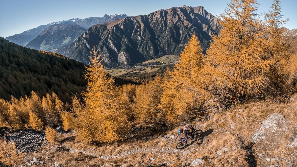
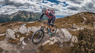
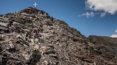
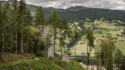
The tour begins in Sterzing. To warm up and get into the groove, you’ll ride along the Eisack River to Trens. The route continues through Trens on paved roads and then climbs steadily toward Niederflans. Niederflans is already beautifully nestled in the Eisack Valley at a slightly elevated elevation. You’ll then switch to a gravel path and follow the forest and farm roads to the Simile-Mahd-Alm. This staffed alpine hut, located right on the Pfunderer Höhenweg, is the perfect spot for a break. Afterward, you’ll push your mountain bike—and occasionally carry it—up to the Trenser Joch. At 2,212 meters above sea level, you’ll reach the highest point of the tour, where the panoramic view opens up impressively toward the Pfitschertal and Eisacktal valleys.
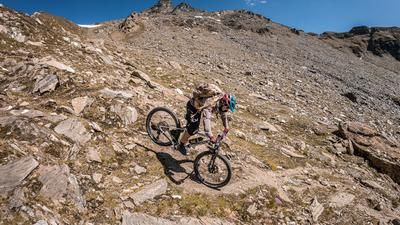
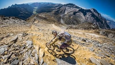
The descent begins with a challenging trail section rated between S2 and S3. It remains at this difficulty level afterward, with some very steep and demanding sections that repeatedly require technical skill. You then reach the plateau at the foot of the Pfitschertal valley near Tulfer and wind your way back to Sterzing via side roads and shorter trail sections, where the tour ends.
Map & GPX-Track
The map is only available to Ride subscribers.
The Ride-Subscription is available at ride-mtb.com/abo
.
Details of the tour
28 km
1345 m
1345 m
930 above sea level
2234 above sea level
1 day
Sterzing
Sterzing
3773
limited
More information
More tours nearby

































User comments (0)

About the author: Martin Depauli
Note: This content has been automatically translated from German. Please report any incorrect translations.