

Burgruine Reifenegg
Description
The route starts in Stange. From here, the official paved road leads steadily uphill toward Ratschings. After crossing the Ratschingser Bach, turn left onto the paved road and continue uphill toward Burghof on moderate to gentle gradients. After climbing just under 300 meters in elevation, you’ll reach the highest point of the tour.
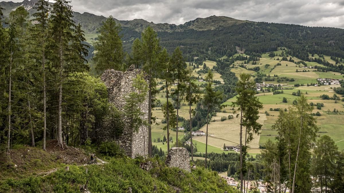
The trailhead is located on the left side of the road. The singletrack descends steadily at a difficulty level of S2 to S3. Just before the Reifenegg castle ruins, there are two hairpin turns that require you to push your bike. Otherwise, the trail runs smoothly over forest floor with roots, loose gravel, and the dry conditions typical of the region. Right next to the Ratschingser Bach, you cross it once more and ride back to the starting point along trail sections.
Map & GPX-Track
The map is only available to Ride subscribers.
The Ride-Subscription is available at ride-mtb.com/abo
.
Details of the tour
6 km
280 m
280 m
977 above sea level
1252 above sea level
1 day
Sterzing
Sterzing
3757
well suited
More information
More tours nearby
































User comments (0)

About the author: Martin Depauli
Note: This content has been automatically translated from German. Please report any incorrect translations.