

Zinseler

Description
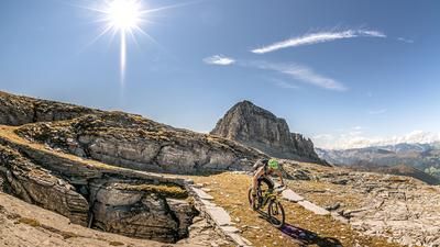
The tour starts in Sterzing and runs along the Eisack cycle path to Pfulters. From Pfulters, the route follows the Eggertal valley for a while, relatively free of traffic and surrounded by green nature, to Egg. In Egg, turn onto the pass road towards Penser Joch. Follow this road to the top of the pass and the Alpenrosenhof at an altitude of 2211 meters above sea level. It is important to start the tour relatively early to avoid the tourist traffic and enjoy the ascent with as little traffic as possible. Once you reach the Joch, you can enjoy stunning views of the Sarntal Alps and the Pens Valley. From here, take the Sarntaler Höhenweg trail (trail no. 15) back to the summit of the Zinseler. The Zinseler has an altitude of 2422 meters above sea level and towers above all the other peaks, providing a tremendous panorama to the north of the Stubai Alps, the Tux Alps and the Pflersch Alps and to the south of the Sarntal Alps. There is plenty of space at the summit and you can enjoy your snack in peace and take some panoramic photos.
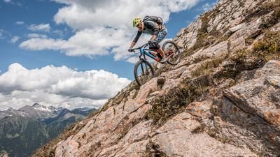
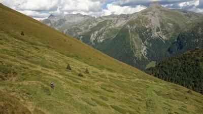
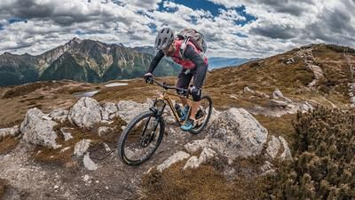
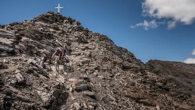
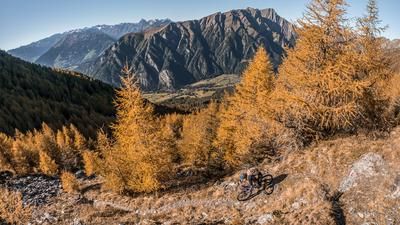
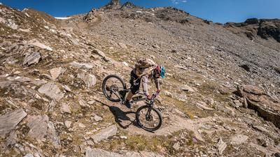
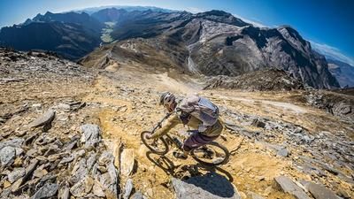
The descent is relatively bumpy and exposed at the start, and the path is no longer maintained in places (as of summer 2025). Up to the Mandlseitejoch at 2185 meters above sea level, the difficulty alternates between S3 and S4, with sections having to be pushed here as well. From here, a fantastic single trail of difficulty S1 to S2 begins, which rides via the Tschuggwald forest to Sterzig (trail number 14). From hairpin bends to flow passages, berms and natural jumps, there is everything a biker's heart desires. Once you arrive in Sterzing, you can enjoy a leisurely coffee and complete the tour. If you opt for a shuttle, you can be taken from Sterzing to the Penser Joch pass.
Map & GPX-Track
The map is only available to Ride subscribers.
The Ride-Subscription is available at ride-mtb.com/abo
.
Details of the tour
44 km
1725 m
1725 m
928 above sea level
2397 above sea level
1 day
Sterzing
Sterzing
2021
not suitable
More information
More tours nearby
































User comments (4)

About the author: Martin Depauli
Note: This content has been automatically translated from German. Please report any incorrect translations.
Thanks for your reply, Martin!
We followed the GPX track exactly. I also watched your video. Of course, the Action Cam makes a lot of things look very smooth and the vegetation seems to have been freshly cut. Nevertheless, it is difficult to recognize the trail in the upper part. Have erosion, storms and the like really done that much to it? !
The lower part was completely clogged with stinging nettles, thorns and the like and has also seen many storms in the meantime. According to a local we met today on the White Russian Trail, it was also overgrown like a jungle until 2 weeks ago and practically unrideable.
Therefore the following suggestion: Change the riding technique requirement to at least 4 out of 6, as (as can be seen in the video) it is sometimes necessary to shift the rear wheel every 10 seconds in order to be able to ride through. And add information to the description about the mostly poorly maintained condition of the (hiking) trail and the now dangerous scree field. This should bring it closer to the current reality.
We rode the tour today, 30.7.2025, with two trail bikes in dry conditions. "Feel-good zone" S2, up to the lower half of S3 ok.
There's not much to add about the ascent to the pass restaurant, which is in line with the description. The fact that you have to carry or push 90% of the 250 m from the pass junction to the summit is at least worth mentioning, if not tragic.
On the downhill part, however, we both wonder whether the author of this tour rides Red Bull Rampage on normal weekends or was out and about on this tour with plenty of magic mushrooms. The first 2 km of the descent are pure carrying, pushing and sliding passages on a (in reality) T3 alpine hiking trail, including short climbing passages and a scree field with 1 meter high, partly loose boulders. A maximum of 0.1% of the trail can be ridden here. And with a bike in your hands/on your back in this terrain, it's just crap and life-threatening in places. Unfortunately, it doesn't get any better after that: there is a rideable trail, but it is hardly ever wider than a 3-inch fatbike tire, always extremely steep and in a desolate, completely overgrown condition. With a little goodwill, the "3 out of 6 riding technique points" correspond to perhaps 300 of the 1650 Elevation loss, the rest is simply unrideable or boring forest road.
The worst tour I've ever ridden in around 15 years and completely misdescribed. Dear Ride, such lousy and unrealistically researched tours are simply dangerous and an affront to your paying readers. I will no longer take tours by this author seriously.
Did you then ride down the climb from the Mandelseitejoch? this had a top condition with us! or did you go down the road here? because this section alone has over 1000 Elevation loss - at least when we rode it in 2019.
https://www.youtube.com/watch?v=g7ob3mT6tUc&ab_channel=FreerideInc.Aust…
here is the video, with the trail on the ridge and then the path....