

Flatschspitz

Description
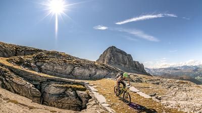
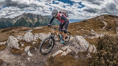
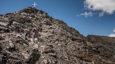
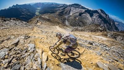
The tour starts at the Brenner Pass and winds its way via the Gasthof Brenner Wolf on the old military road to the Flatschjoch (2395 meters above sea level). From here you push and carry along an old military road to the Flatschspitz (2566 meters above sea level). Once you reach the summit, you can enjoy the finest mountain panorama and look towards the well-known Wolfendorn as your summit partner, as well as the Tux and Stubai Alps.
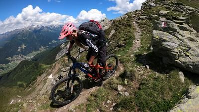
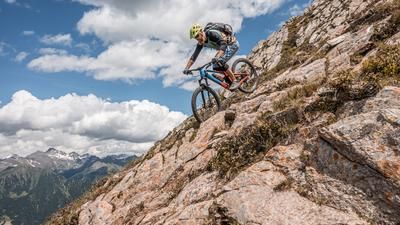
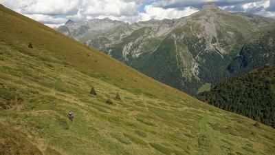
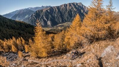
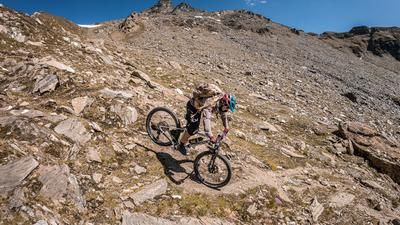
The descent runs along the ridge towards Schlüsseljoch. The difficulty here is classified as S2, although it must be said that you should always take a photo stop due to the impressive mountain scenery. From the Schlüsseljoch, the route is a little more relaxed to the Enzianhütte, the only refreshment stop on the tour (top quality Kaiserschmarrn and coffee). From the Enzianhütte, it's a few meters uphill towards the Leitneralm and from here the 4A path, or the 4er path in the direction of Brennerbad and is to be declared with the difficulty of S2 to S3 and let the calories consumed before tumble again, as well as the transfer road back to the starting point. Conclusion: A fantastic tour and a "must do" on every biker's list, especially in autumn with good visibility.
Map & GPX-Track
The map is only available to Ride subscribers.
The Ride-Subscription is available at ride-mtb.com/abo
.
Details of the tour
22 km
1190 m
1190 m
1314 above sea level
2500 above sea level
1 day
Brenner
Brenner
2119
not suitable
More information
More tours nearby
































User comments (2)

About the author: Martin Depauli
Note: This content has been automatically translated from German. Please report any incorrect translations.
Very nice tour, but the description has the usual ride problems:
- Track is not correct on the ascent, you can stay on the forest road
- Track in the descent goes via gravel road, trail is left out...
- Track after restaurant goes over private property (fenced)
It may be worth mentioning that the carrying passages are slightly exposed
Attention: the trail has been extended to the road. Keep left at the yoke and take trail no. 4 - then switch back to the track!
The right of way also applies on private land.