

Wolfendorn – Pfitscher Tal

Description
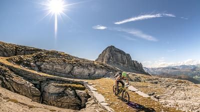
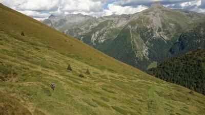
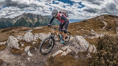
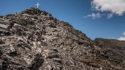
The tour starts in Sterzing, from where you cycle along the Eisack cycle path via Gossensaß and the old Brenner cycle route to the Brenner Pass. However, it is even better to take a bike shuttle for this section, as the ascent is still hard enough. The actual ascent to the Wolfendorn begins at the Brenner Pass and winds its way past the Brenner Wolf inn (1400 meters above sea level) on the old military road up to the Luegeralm. From here it's "no mercy for the calf". The road becomes steeper, the surface rougher and leads up a relatively steep gradient to the Flatschjoch at 2395 meters above sea level. A magnificent panorama opens up to the east of the Brenner border ridge and the Stubai Alps, while the Pfitsch Valley and the Pflersch mountains are already visible in all their beauty at the pass itself. From the Joch, the 3-way trail follows an old military road to the summit of the Wolfendorn (Spina del Lupo) at an altitude of 2776 meters above sea level. At the end, there are only a few meters left to ride and the bike has to be pushed again and again. At the summit, you can enjoy a panoramic view and all the mountain ranges such as the Tux Alps, Stubai Alps, Pflersch Alps and the Brenner border ridge lie at your feet.
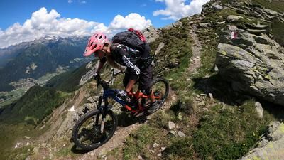
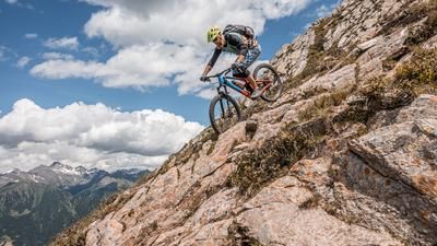
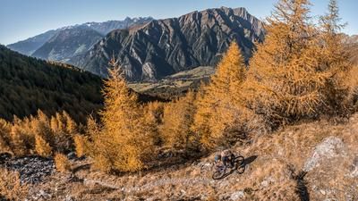
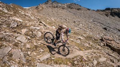
After a refreshing snack, you head south back along the trail that already served as the ascent, but then take a sharp left onto the Landshuter Höhenweg trail no. 3. You have to push your bike along the south/west section for a short time. Watch out for falling rocks here, as this is already in a very dilapidated state. From the pass, the route continues towards the Wildseespitze on an old pioneer trail of the Vallo Alpino and further down the 5A trail to the Grubbergalm at 2002 meters above sea level. The descent up to here can be classified as S2 to maximum S3 and puts a smile on the face of every enduro rider. From the Grubbergalm, the trail becomes easier and easier and finally you are spit out in Grube after countless trail meters in the Pfitscher Valley. You continue rolling down the Pfitscher Tal valley to the Rieder Stausee reservoir, taking the trail cutters with you at the Wöhrsäge, as well as the entire valley trail no. 1 to Sterzing. This is where the trail descent ends, bringing with it a considerable number of trail kilometers. Conclusion: All in all, a tremendous descent with what feels like an eternity of trail kilometers and incredible impressions that cries out for a repeat.
Map & GPX-Track
The map is only available to Ride subscribers.
The Ride-Subscription is available at ride-mtb.com/abo
.
Details of the tour
57 km
2026 m
2026 m
938 above sea level
2735 above sea level
1 day
Sterzing
Sterzing
2023
limited
More tours nearby































User comments (2)

About the author: Martin Depauli
Note: This content has been automatically translated from German. Please report any incorrect translations.
Took the tour on August 5, 2026, starting in Pfitsch. With an e-bike, almost the entire ascent is rideable; you’ll mostly have to push the bike for only about 70 meters of elevation gain below the Flatschjoch and the final 100 meters on the summit slope. The descent from the Wolfendorn was spectacular! The Landshuter Höhenweg was just as impressive; the only downside: the trail between 2,580 and about 2,500 meters above sea level is one continuous pile of scree, and only short sections are rideable. Otherwise, it was great!
Unfortunately, this tour, as well as other trails in the region, is prohibited by the municipality of Brenner due to the legal situation. If you want to check: "Restricted area for mountain bikes. Landscape Plan of the Municipality of Brennero Decision of the Provincial Government No. 404 of 19/03/2012 -- Art. 2 Implementing Ordinance to the Landscape Plan of the Municipality of Brennero: 'in areas of scenic interest, cycling is prohibited in pathless terrain and on trails with a width of less than 1.5 m... The average width of the path is significantly less than 1.5 m and therefore riding on it is a violation according to Art. 47c of LG No. 9 / 2018 (http://lexbrowser.provinz.bz.it/doc/de/212899/landesgesetz_vom_10_juli_…). There is a risk of administrative penalties".