

Wolfendorn - Secret Trails

Description
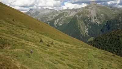
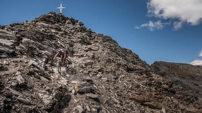
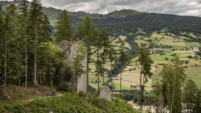
The route starts in Sterzing. From here, you pedal on asphalt along the cycle path to Gossensass and continue along the old railroad line towards Brennerbad. Past countless lost places and historic buildings, the route then climbs moderately on gravel from the Brennerwolf inn to Luegeralm. From the Luegeralm, there is "no mercy for the calves" and the route climbs extremely steeply up an old military road to the Flatschjoch. The ascent takes a lot of energy, but the unbeatable panorama makes up for it. At the Flatschjoch (approx. 2400 meters above sea level), the route then climbs up the avalanche barriers past meter-high fences like in Jurassic Park and finally up to the Wolfendron summit (2776 meters above sea level). The highest point of the tour is reached right on the border between Austria and Italy, with views as far as the Stubai, Zillertal and Pfunderer mountains.
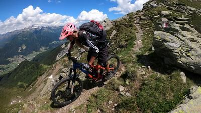
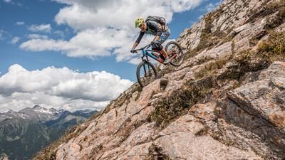
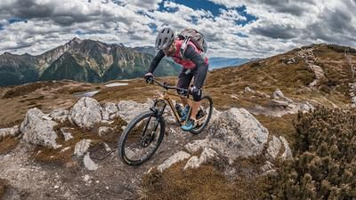
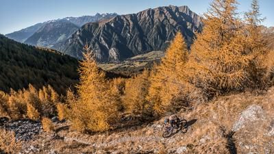
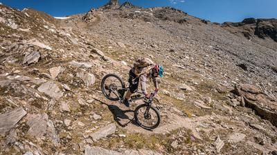
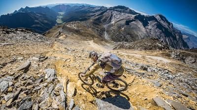
The descent follows the ascent variant, a few meters down. At difficulty levels S2 to S3, you are challenged right at the start. The route then continues along the Vallo Alpino path north of the Wildseespitze. All variations between S1 and S4 can be found here. Further on, you do not take the 5B route, but instead follow the ridge past the Wildseespitze to Friedrichshöhe and the Landshuter Europahütte. The sections that can be ridden here are classified as difficulty S3 and repeatedly show how bizarrely the paths were built directly along the ridge during the Second World War. From Friedrichshöhe, the route continues down the Tiroler Höhenweg for a few meters. A fantastic trail with difficulty S2, in places S3, to the fork 3B. From fork 3B, you then descend the final trail. S2 to S3 is the priority here and leaves little room for opening the brakes. Full concentration and body tension are required. Once you arrive in St. Jakob, the route then takes a relaxed ride out of the Pfitschertal valley, before taking on some trail cut-offs and the valley trail on difficulty S1, in places S2, at the Rieder Stausee reservoir to Sterzing and finally arriving in Sterzing. Conclusion: A day-long tour with almost 2000 meters of altitude and alpine trails. Stable weather conditions and good physical condition are prerequisites for the tour.
Map & GPX-Track
The map is only available to Ride subscribers.
The Ride-Subscription is available at ride-mtb.com/abo
.
Details of the tour
58 km
1940 m
1940 m
943 above sea level
2683 above sea level
1 day
Sterzing
Sterzing
2544
not suitable
More information
More tours nearby
































User comments (0)

About the author: Martin Depauli
Note: This content has been automatically translated from German. Please report any incorrect translations.