

Steinjoch - Brenner-Trail
Description
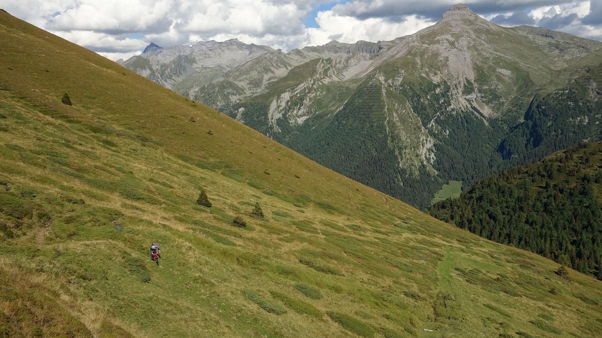
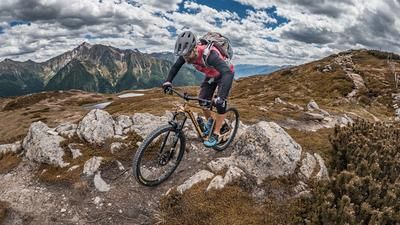
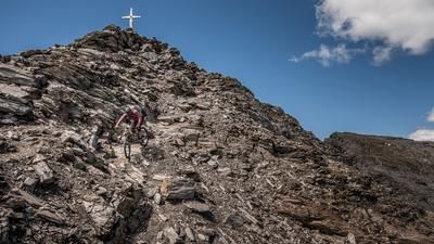
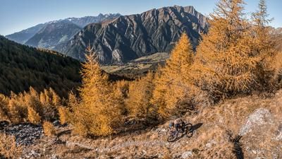
The tour starts right at the Brenner Pass. Following the old railroad right-of-way—the official bike path—you’ll ride a few meters toward Brennerbad; then the Vallo Alpino military ramp leads steadily and mysteriously uphill toward Steinjoch. The Steinjoch marks the highest point of the tour and, at 2,187 meters above sea level, offers a breathtaking view of the Stubai Alps and the main Alpine ridge—especially in the fall, when the larch forests are at their most striking.
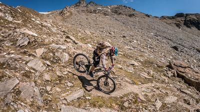
Then the descent begins. In the upper section, it initially follows a cart path, then becomes a very smooth trail rated S1 in difficulty. With views of the mighty Wolfendorn and the Kraxentrager, the route continues downhill. At the Steinalm, the route heads north before the final section of the trail begins. This section becomes somewhat more challenging and winds down in switchbacks with a difficulty rating of S2 directly toward the Brenner Pass. Overall, this is a tour offering impressive panoramic views, particularly well-suited as a stopover on a through-trip.
Map & GPX-Track
The map is only available to Ride subscribers.
The Ride-Subscription is available at ride-mtb.com/abo
.
Details of the tour
19 km
840 m
840 m
1318 above sea level
2139 above sea level
1 day
Brenner
Brenner
3756
well suited
More information
More tours nearby
































User comments (0)

About the author: Martin Depauli
Note: This content has been automatically translated from German. Please report any incorrect translations.