

Wilde Kreuzspitze - Westabfahrt
Description
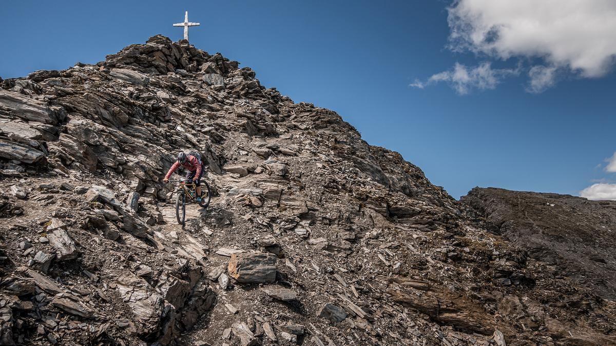
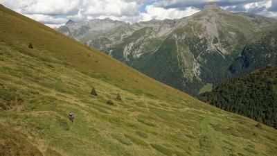
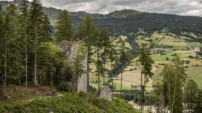
The route begins in Burgum in the Pfitschtal valley. From here, the trail follows the forest road or alpine path, climbing steadily with moderate to gentle gradients up to the farm buildings above the tree line at over 2,000 meters above sea level. The landscape here is already impressive. At just under 2,150 meters above sea level, you’ll have to carry your mountain bike on your shoulder; the next 1,000 meters of elevation gain are then covered on foot. The path up is also the descent, so be sure to memorize the key sections well. In the upper section, there are a few exposed sections before reaching the summit of the Wilde Kreuzspitze at 3,126 meters above sea level. The view is characterized by the distinct charm of the Western Alps, looking south toward the Dolomites with a view of the Wilder See, and to the north with the Hochfeiler and the Zillertal Alps in full view. Then the descent begins.
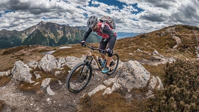
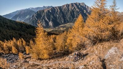
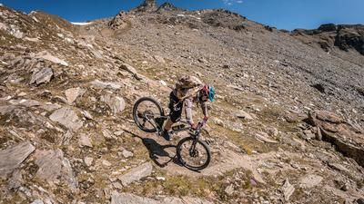
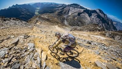
From the summit to the pass, there are a few sections that are best navigated on foot because the risk of falling is high. The entire route, however, is rated S3 to S4. On loose gravel and with a breathtaking view, the route descends to the Sterzinger Hütte; before reaching it, some sections are already quite rideable. You can stop for a break at the Sterzinger Hütte, though it is a self-catering hut with a beverage vending machine. After that, the trail becomes more challenging again, rated S3. The trail then runs along meadows and slopes with varying difficulty levels between S2 and S3. Near the springs, the trail becomes increasingly rideable and leads back to the starting point over gravel at the S2 level. All in all, the descent on hiking trail number 2 from the summit down to the Pfitschtal is an impressive experience—a classic 3,000-meter mountain bike ride with a few sections where you’ll have to push your bike.
Map & GPX-Track
The map is only available to Ride subscribers.
The Ride-Subscription is available at ride-mtb.com/abo
.
Details of the tour
15 km
1605 m
1605 m
1441 above sea level
3046 above sea level
1 day
Burgum
Burgum
3774
not suitable
More information
More tours nearby
































User comments (0)

About the author: Martin Depauli
Note: This content has been automatically translated from German. Please report any incorrect translations.