

Höllenkragen – Trenser Joch

Description
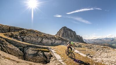
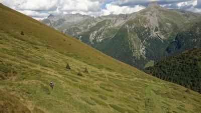
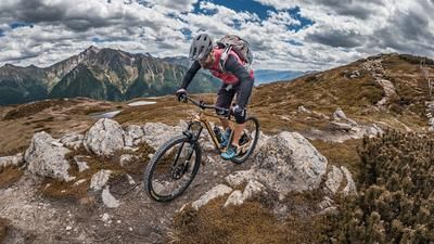
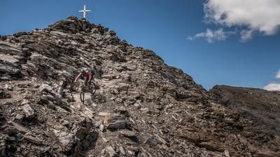
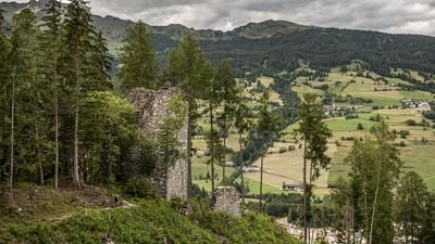
The route starts in the historic old town of Sterzing. The route initially heads east along the Eisack at a relaxed pace before crossing the Brenner road at Freienfeld and beginning the actual ascent through Trens. On a combination of asphalt and gravel road, the route climbs comfortably up to around 1600 meters above sea level. From here it gets alpine: an extremely steep cart track to the Pfitschalm can only be tackled by pushing. The route then carries you past the Trenser Joch bivouac, over some exposed sections, before the narrow ridge runs up towards Höllenkragen (2387 m).
At the summit, a magnificent 360° panorama opens up: Wolfendorn, Amthorspitze and Weißspitze towards Austria greet you in the north, the Dolomites loom in the east and the peaks of the Stelvio National Park can be seen in the west on a clear day.
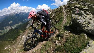
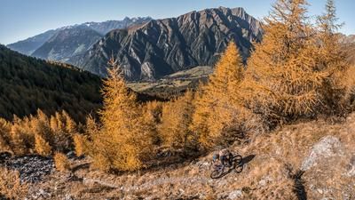
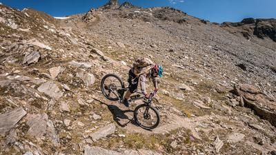
The descent begins relatively smoothly on S1-S2, but is soon interrupted by technically challenging S3 passages. If you tackle the descent from the Trenser Joch, you should be confident in the hairpin bend technique - S2-S3 level is the order of the day here. Individual sections can be pushed briefly, but always require concentration and line choice. The lower section is followed by a relaxed coasting section through Tulfer - a small hamlet in the Pfitscher Valley - back towards Sterzing. Here, the surface alternates between gravel and forest paths before you reach the picturesque old town again, which is the perfect place to stop for a break.
Map & GPX-Track
The map is only available to Ride subscribers.
The Ride-Subscription is available at ride-mtb.com/abo
.
Details of the tour
27 km
1415 m
1415 m
930 above sea level
2343 above sea level
1 day
Sterzing
Sterzing
3589
not suitable
More information
More tours nearby


































User comments (0)

About the author: Martin Depauli
Note: This content has been automatically translated from German. Please report any incorrect translations.