

Maurerscharte

Description
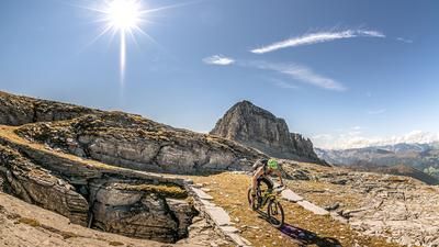
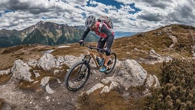
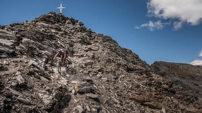
The tour starts in Sterzing and winds its way along the Ridnaun stream via Ridnaun to the end of the valley to the Provincial Mining Museum. A short detour should be made here, as the whole area is characterized by the measures of this time. At the museum, take the 27a path and follow the gravel road on a medium gradient to the Prischeralm (2160 meters above sea level). From here, you have to push or carry your bike along the 27a trail to the Maurerscharte. The saddle at an altitude of 2511 meters above sea level offers views as far as the Pflerschertal to the Tribulaun and south to the Hohe Ferse in Ratschings. In good weather, this view is extreme and is more reminiscent of the Western Alps than South Tyrol.
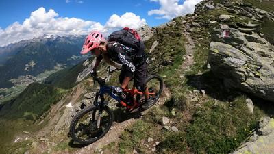
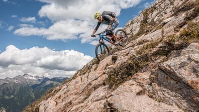
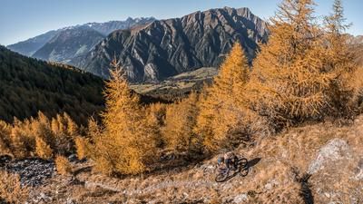
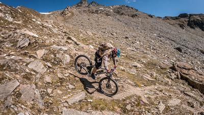
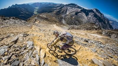
The descent itself runs along the 27er trail again in the upper section, whereby this can be completed with a difficulty of S2 throughout. At the Prischeralm, the trail becomes a little tougher and winds its way down to Schneeberg at S3 level in places. At the end of the trail, you take the trail at the end of the valley again, with hardly any elevation gain, and then turn off at the Schneiderhof onto the 3er trail (Mareit circular trail), which rides along the Ridnaun stream to Sterzing. An eternally long trail adventure with a fairytale forest character brings a perfect day in South Tyrol to a close.
Tip: To shorten the tour, it is possible to take the public bus or a local bike shuttle from Sterzing to Maiern or to the mining museum.
Map & GPX-Track
The map is only available to Ride subscribers.
The Ride-Subscription is available at ride-mtb.com/abo
.
Details of the tour
45 km
1675 m
1675 m
940 above sea level
2499 above sea level
1 day
Sterzing
Sterzing
2032
limited
More information
More tours nearby































User comments (1)

About the author: Martin Depauli
Note: This content has been automatically translated from German. Please report any incorrect translations.
Thanks so much, Martin, for the great tour—the trail is truly sensational! That said, the description downplays the tour’s difficulty a bit. The climb up to the Prischer Alm seems to me to be more steep than moderately steep. The descent from the Maurerscharte features some challenging S3 sections, but also includes longer stretches of S1. However, the trail’s sometimes very exposed location makes the ride more challenging—this needs to be mentioned, otherwise the S2 rating could be misleading or misjudged. The trail from the Alm is brilliant, S3 almost throughout, with some S4 sections between 1,700 and 1,600 meters above sea level.
Technically skilled and alpine-experienced mountain bikers will have a blast here.