

Zinseler – Berglalm

Description
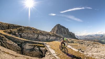
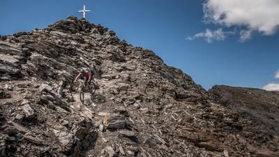
The starting point is the village of Stilfes south of Sterzing. From here, it's a relaxed few meters uphill on the former military road and later on the forest road. In the area of the hamlet of Erler, the route then heads towards Egg, where the Penser Joch pass road turns into asphalt and is maintained until the Seiterberg Jöchl (2259 meters above sea level). It is advisable to start the tour relatively early in order to avoid the traffic on the Penser Joch, especially at weekends. From the Seiterberg Jöchl, it is then just a matter of pushing/carrying past the Hühnerspiel to the Zinseler (2422 meters above sea level). The relatively isolated and solitary summit is gently embedded, but offers an absolutely fantastic panorama of the main Alpine ridge, the Sarntal Alps and the Dolomites.
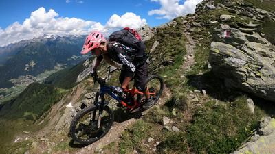
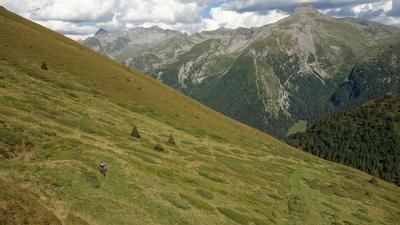
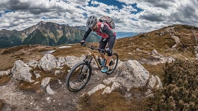
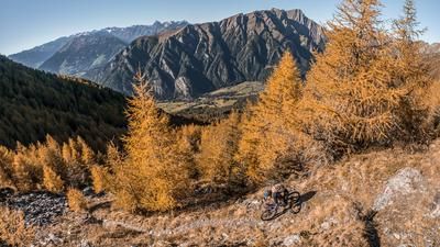
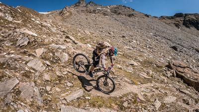
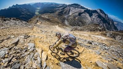
The descent follows the ascent route to the Seiterberg Jöchl. From difficulty S1 to S3, it is an interesting mix and you are well challenged. After crossing the main road, the trail descends steadily down the hairpin bends towards the Berglalm. Partly blocked and overgrown, you can also reach difficulty level S3 here in places, otherwise the trail can be declared S1 to S2. After a short crossing of the forest road, continue to the right. Take the path along the Eggerbach stream to the hamlet of Erler, which you already know from the ascent. An interesting forest path awaits you here. When you finally arrive back in Egg, the final highlight of the tour awaits. The former Mulitieraweg to the hamlet of Egg from the Eisack Valley. An endless descent that really deserves the word "flow". Apart from a short section where the path breaks off, there are no major difficulties to be expected and the difficulty can be described as S1, occasionally S2. You return to the starting point in Stilfes and thus complete the tour.
Map & GPX-Track
The map is only available to Ride subscribers.
The Ride-Subscription is available at ride-mtb.com/abo
.
Details of the tour
30 km
1430 m
1430 m
969 above sea level
2351 above sea level
1 day
Stilfes
Stilfes
2764
not suitable
More information
More tours nearby































User comments (0)

About the author: Martin Depauli
Note: This content has been automatically translated from German. Please report any incorrect translations.