

Peilspitze

Description
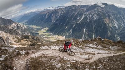
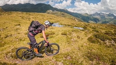
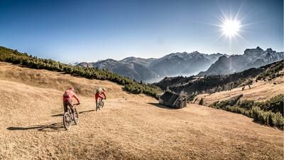
The starting point of the tour is Steinach am Brenner. From here, the route takes a relaxed ride up the Trinserbach stream into the Gschnitztal valley and then follows the official cycle route on gravel to the Blaser Hütte. The ascent already shows what the tour has to offer in terms of scenery. Magnificent views of the Stubai Alps and the Tribulaun are a constant companion on the ascent. Once you arrive at the Blaser Hütte, you descend a few meters before pushing and carrying your bike up to the Peilspitze. Once at the top, you have a magnificent view to the south over the entire Wipptal valley, the Stubai Alps and the Tribulaun.
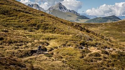
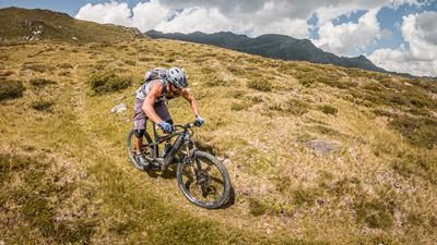
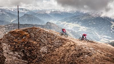
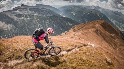
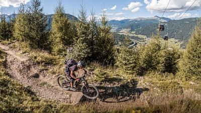
The descent from the Peilspitze is interesting. Partly very flowy, partly challenging, it goes directly along the rocky edge of the Matreier Grube and finally along the yoke towards Langes Tal. Difficulty levels between S2 and S3 are reached here, with the trail running on scree in some places and in varying conditions due to erosion. The route then takes a relaxed walk to the Matreier Ochsenalm, where a refreshment stop is a must. The centuries-old hut invites you to do just that. You leave the hut briefly on gravel to reach the Trinsersteig trail, which is classified as difficulty S3. You then follow the Quellenweg to Obfeldes on some trail cut-offs and finally end up in Matrei am Brenner, where you can take a relaxed ride south along the Sill back to the starting point.
All in all, a very varied and scenic tour. On the descents, however, it is important to pay attention to the erosion caused by the subsoil, clean riding technique and any damage caused by heavy rain.
Note: The route is located on Austrian territory and leads over routes that are not approved for mountain bikers. Riding this route on a mountain bike is the responsibility of each individual, in full awareness of the legal situation.
Map & GPX-Track
The map is only available to Ride subscribers.
The Ride-Subscription is available at ride-mtb.com/abo
.
Details of the tour
33 km
1370 m
1370 m
985 above sea level
2326 above sea level
1 day
Steinach am Brenner
Steinach am Brenner
3068
not suitable
More information
More tours nearby










User comments (0)

About the author: Martin Depauli
Note: This content has been automatically translated from German. Please report any incorrect translations.