

Hoher Lorenzenberg – Obernberger See

Description
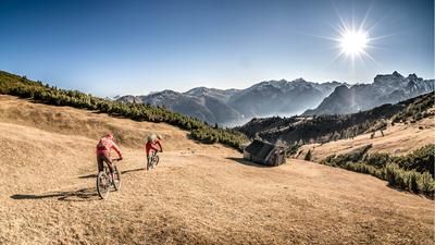
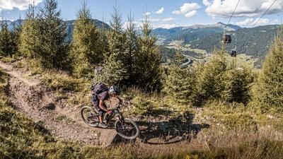
The starting point is the end of the Obernberg valley near the hamlet of Eben. From here, the official mountain bike route leads past the Haideggeralm on gravel into the Frader Valley heading south. Towards the end, the road becomes steeper and narrower, turning into a single trail that is easy to ride uphill. In this manner, you pedal steadily up to the Flachjoch. At the Austrian/Italian border, you are greeted by a fantastic panorama and a huge infrastructure of military roads from the Second World War. Now take this wide panoramic road to below the Hoher Lorenzenberg and pedal or push your bike to the highest point of the tour (2313 meters above sea level). The view is magnificent, as is the location and the orientation.
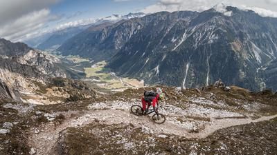
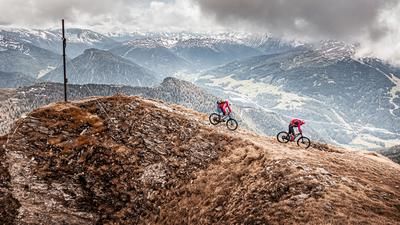
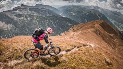
The descent then runs directly along the ridge on difficulty S2 to S3 heading north to the Koatnerberg. In between, however, there is a push section of just under 100 meters in altitude before you circle off on the ridge with a breathtaking and dreamlike backdrop. The difficulty in this style remains at S2 to S3 and the focus should be on the trail, as there are some overgrown sections. In this style, you head towards Obernberger See, which you circle and then take a relatively easy meadow path back to the starting point.
Tip: The tour should be completed in good weather, as the views and impressions of the main Alpine ridge and the Tribulaun are first-class.
Note: The route is located on Austrian territory and leads over routes that are not approved for mountain bikers. Riding this route on a mountain bike is the responsibility of each individual, in full awareness of the legal situation.
Map & GPX-Track
The map is only available to Ride subscribers.
The Ride-Subscription is available at ride-mtb.com/abo
.
Details of the tour
19 km
930 m
930 m
1403 above sea level
2268 above sea level
1 day
Obernberg am Brenner
Obernberg am Brenner
3066
limited
More information
More tours nearby










User comments (0)

About the author: Martin Depauli
Note: This content has been automatically translated from German. Please report any incorrect translations.