

Nösslachjoch Nordabfahrt

Description
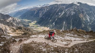
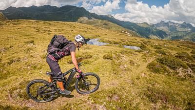
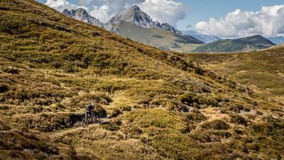
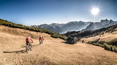
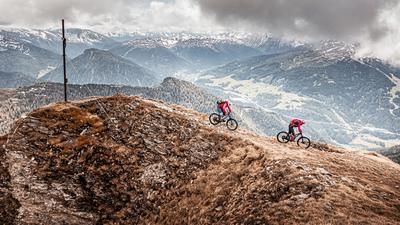
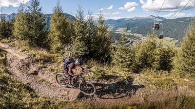
The trail starts in the municipality of Steinach am Brenner. Here you wind your way along forest and feeder trails under the lift route via the Bergeralmhütte and on to the (unattended) Nösslachjochhütte (2022 meters above sea level). Now you have already passed the tree line and have a magnificent panoramic view of Innsbruck and the Brenner Pass to the south. From the Nösslachjochhütte, the route continues on gravel on a moderate incline to the Hoher Turm mountain station. From here, the bike is pushed and carried to the highest point of the tour, the Nösslachjoch (2221 meters above sea level). The summit offers a fabulous 360-degree panorama of the main Alpine ridge. Especially in autumn, when all the shrubs and grasses turn color, it is a real pleasure to bike in this region.
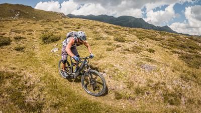
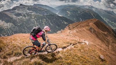
The downhill runs in the upper section on the 40 and 42 trails with a difficulty of S2 throughout. At the Nösslachjochhütte, it climbs slightly (S3 in places) and rides down to the Bergeralm. From the Berger Alm you can choose between a red, difficult trail or a blue, easier trail to Steinach am Brenner. A perfectly shaped bike park, the trails can be completed here according to difficulty. The red line is difficulty S2, in places S3. The trail ends directly at the Bergeralmbahn lift parking lot, where the loop also ends.
Note: The route is located on Austrian territory and leads over routes that are not approved for mountain bikers. Riding this route on a mountain bike is the responsibility of each individual, in full awareness of the legal situation.
Map & GPX-Track
The map is only available to Ride subscribers.
The Ride-Subscription is available at ride-mtb.com/abo
.
Details of the tour
16 km
1095 m
1095 m
1080 above sea level
2184 above sea level
1 day
Steinach am Brenner
Steinach am Brenner
2539
limited
More information
More tours nearby










User comments (0)

About the author: Martin Depauli
Note: This content has been automatically translated from German. Please report any incorrect translations.