

Pic de Terre Noir

Description
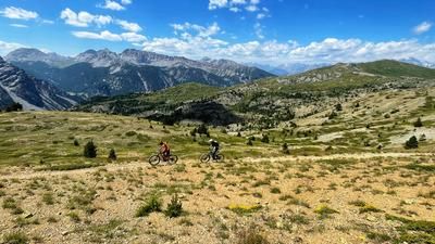
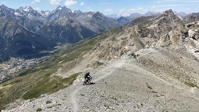
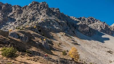
The base for the tour is the Vallée des Fonts de Cervières to the east of Briançon. Now it's straight down to business: a path rides up to the Col de Bousson on the French-Italian border. The bike is pushed and occasionally carried here. The route continues to the Col du Bourget and the Col du Chabaud. Up to here there are always rideable sections, but now the bike is on its back up to the Cime de Dormillouse (2908 meters above sea level). Here you reach the ridge that leads up to the Pic de Terre Noir (3100 meters above sea level) and is largely rideable. The inconspicuous summit offers a great panorama over southern Piedmont and into the Queyras Nature Park.
The descent is varied until just before the Col du Bourget on the ascent route, but then you keep left and head directly down the singletrail to the little road not far from the starting point.
Map & GPX-Track
The map is only available to Ride subscribers.
The Ride-Subscription is available at ride-mtb.com/abo
.
Details of the tour
22 km
1270 m
1270 m
1870 above sea level
3080 above sea level
1 day
Le Bourget
Le Bourget
2933
not suitable
More information
More tours nearby









User comments (1)

About the author: Thomas Giger
Note: This content has been automatically translated from German. Please report any incorrect translations.
Not recommended. The entire ridge path is overgrown beyond recognition and in many places no longer exists. Scenically beautiful.
Possibly combinable with the descent from the other Monte Terra route?