

Col du Lautaret Trail

Description
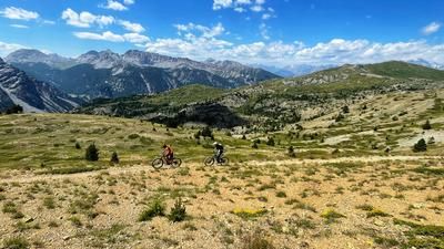
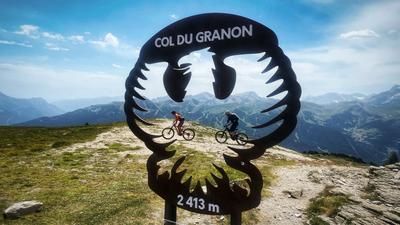
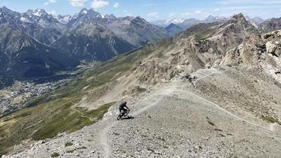
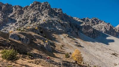
The route starts at the top of the pass. You can either ride up the pass road under your own power or take the public bus. The public bus, Line 55, has a rear rack for bicycles. Shuttles can also be booked on-site. The downhill trail begins right at the pass summit and winds its way downhill through varied terrain rated S2. Further down, the trail becomes even smoother and transitions to S1. The signposted route winds its way through the Serre Chevalier valley in a wonderfully varied manner. After La Salle, the official route switches to a gravel road for a while. Outside of peak season, you can take a detour here to the right onto the narrow path along the water pipeline. This eventually takes you to the hamlet of Pramorel, from where you can either head back down to the riverbank or continue following the water pipeline, eventually arriving at the valley station of the gondola in Briançon.
Map & GPX-Track
The map is only available to Ride subscribers.
The Ride-Subscription is available at ride-mtb.com/abo
.
Details of the tour
28 km
66 m
915 m
1206 above sea level
2058 above sea level
1 day
Col du Lautaret
Briançon
3787
well suited
More information
More tours nearby











User comments (0)

About the author: Thomas Giger
Note: This content has been automatically translated from German. Please report any incorrect translations.