

Aiguille Rouge

Description
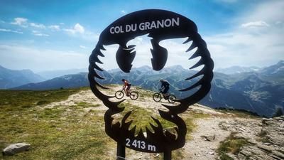
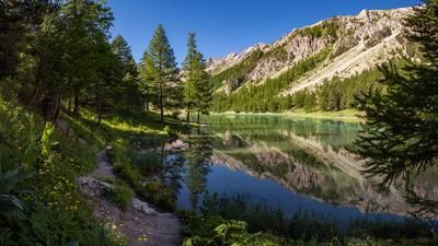
The starting point of this impressive mountain bike tour is the sleepy village of Roubion in the Vallée de la Clarée - an idyllic high valley north of Briançon. From here, you pedal on asphalt up to the Col de l'Échelle, which connects the valley with Bardonecchia in Italy. Shortly before the top of the pass, you take a right turn onto a trail that leads into the Vallée Étroite. After a short descent, there is another ascent on a small road to a hamlet with a large parking lot - the last opportunity for refreshments before the singletrail ascent to the Col des Thures begins. The rooty but easily rideable path is easy to manage on an e-mountainbike. Without motor support, the ascent is a tough feat of strength. Around 450 vertical meters lead up to the pass with its small mountain lake.
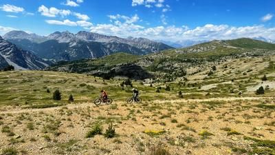
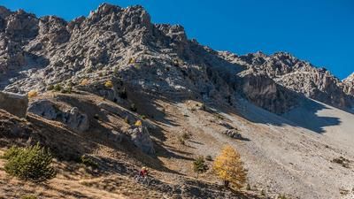
The signposted main route would now lead back via the high valley. In this variant, however, you add a worthwhile additional loop to the summit of the Aiguille Verte. A long traverse through the western flank of the mountain is easy to ride. Only at the end does the trail become significantly steeper and leads straight up to a saddle. This section can also be tackled with an e-mountainbike using the push assist.
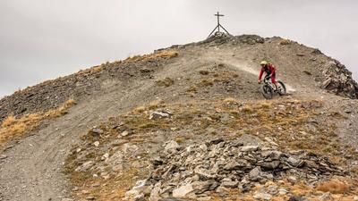
The summit ascent to the Aiguille Verte is technically challenging but rewarding. The bike can be carried up to a saddle below the summit - some sections are even rideable. The last few meters have to be covered on foot. At the summit, an extraordinary panorama opens up with sweeping views as far as the imposing Écrins massif.
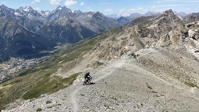
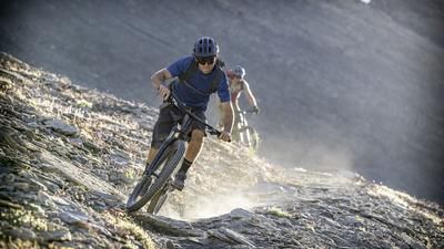
Those who have brought their bike with them to the summit region can look forward to an alpine S3 descent through the steep mountain flank. After the saddle, the trail becomes noticeably smoother - first along a mountain ridge, then on a slope traverse back to the main route. The official route now leads downhill in rough hairpin bends. In the area of the Demoiselle Coiffée (striking sandstone formations), you leave the main route to the left. This version rewards you with a super-flowing forest path that leads directly back to Roubion and forms the successful conclusion to this varied tour.
Map & GPX-Track
The map is only available to Ride subscribers.
The Ride-Subscription is available at ride-mtb.com/abo
.
Details of the tour
24 km
1110 m
1110 m
Roubion
Roubion
3514
well suited
More information
More tours nearby












User comments (2)

About the author: Thomas Giger
Note: This content has been automatically translated from German. Please report any incorrect translations.
Did this today. We ended up pushing our bikes uphill along the trail all the way to the lake. After that, it was rideable again—or rather, if you haven’t already spent a total of eight out of nine days in the saddle like we did, you can actually make some good progress up there on a regular bike. We walked the last section to the Aiguille Rouge because it was too crowded. After that, the descent is just a dream. I’d say it’s S2 at most, and everything rides smoothly. It was fun! By the way: You can get a great espresso at the rifugio before the uphill trail.
We rode the tour on July 30, 2026, on Biobikes. Most of the climb up to Col de Thures requires pushing the bike. Only very technically skilled e-bike uphill riders are likely to make it to the top without having to push for short stretches (the descent includes a few S2–S3 sections). Still, the somewhat arduous climb is worth it—both in terms of scenery and the downhill trails, this tour is simply sensational!