

Col de Furfande Supertrail

Description
The tour begins with an impressive, long asphalt section through the dramatic backdrop of the Gorges de Guil. The narrow gorge, framed by steep rock faces, is impressive right from the start. After this prelude, you follow the pass road towards Col d'Izoard as far as the village of Arvieux. After around 26 kilometers, you leave the road traffic and turn onto a gravel road that winds its way steadily uphill to the Col de Furfande.
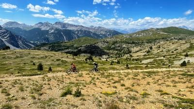
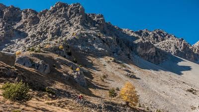
At the top, there is a magnificent view back to the Col d'Izoard and over large parts of the Queyras Regional Nature Park. The Col de Furfande marks the start of the first descent of the tour: a fast, flowing trail of difficulty S1, which soon becomes more technical and finally turns into a short but steep counter-climb to the Col Garnier. E-mountain bikers usually manage this climb in the saddle, while everyone else pushes for a few minutes.
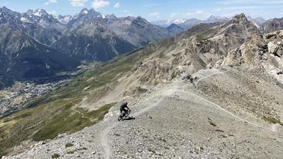
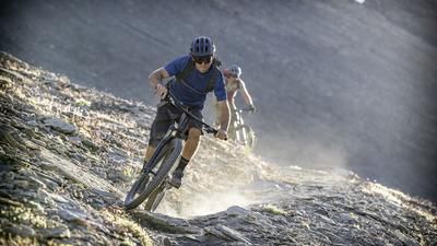
At Col Garnier, the super trail down into the Gorges du Guil begins - a fast, agile and varied trail that combines fun, flow and technique. The descent leads to a stream bed before a short, steep climb follows. Due to a lack of trail options, you then roll along a gravel road to the hamlet of Gros. The spectacular final section starts here: a technically challenging trail with tight bends and exposed sections. For safety reasons, it is important to push your mountain bike briefly in places. If you want to avoid this exposed section, you can alternatively follow the spectacular asphalt road for a while and turn left onto a serpentine trail that leads back to the main route later on.
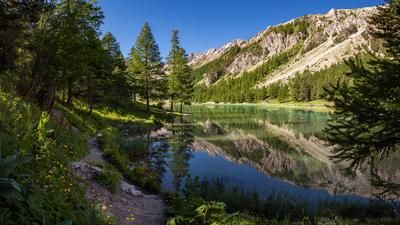
The crowning glory of the tour is an impressive section through the lowest part of the Guil Gorge - a scenic finale to this varied and extraordinary tour.
Map & GPX-Track
The map is only available to Ride subscribers.
The Ride-Subscription is available at ride-mtb.com/abo
.
Details of the tour
53 km
2025 m
2025 m
Mont-Dauphin
Mont-Dauphin
3513
well suited
More information
Pictures from the tour


More tours nearby










User comments (0)

About the author: Thomas Giger
Note: This content has been automatically translated from German. Please report any incorrect translations.