

Tête de Vautisse
Description
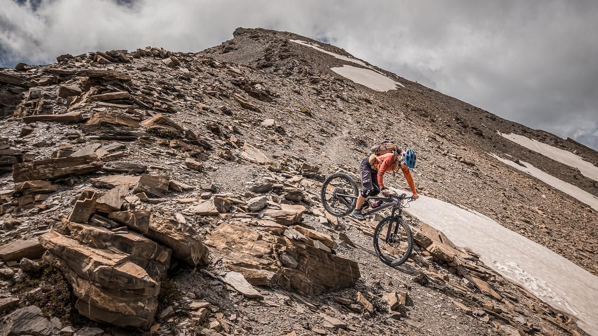
The tour starts—in a slightly shortened version—above Saint-Crépin at the small village of Champcella. Theoretically, it would also be possible to start the ascent from La Durance, but that would add several hundred meters of elevation gain to the tour. From the village, the route begins on asphalt and later switches to gravel, winding through pine and conifer forests along classic switchbacks. At 2,300 meters above sea level, above the tree line, you can continue pedaling before the trail transitions into a singletrack. There, you’ll need to push your bike or pedal briefly in some sections until you switch to the right side just below the summit and shoulder your mountain bike. You’ll then carry it the rest of the way to the highest point of the tour, the Tête de Vautisse. The view from the summit is breathtaking. The summit itself resembles a lunar landscape, while pastures and meadows stand out in the valley floor. This contrast makes the area particularly charming.
The descent then begins along the ridge. The ride down, rated S2, S3, and S3+, follows a typical alpine style. This is followed by a few key sections before you enter the cirque, where the tour’s only drawback lies. The trail through the cirque toward Le Peyron is only partially intact, so you’ll need to search for the path in some sections. A few cairns have been temporarily erected, but weather conditions also affect the state of this section. Anyone who has mastered the summit section will handle this section as well. In the Le Peyron area, there’s a counter-ascent to the saddle, followed by a fairly smooth ride on S2—which feels like an eternity—through varied vegetation zones, over gravel and forest floor, back to the starting point. Overall, it’s a very demanding and challenging 3,000-meter peak on a mountain bike, which loses a few points due to the middle section.
Map & GPX-Track
The map is only available to Ride subscribers.
The Ride-Subscription is available at ride-mtb.com/abo
.
Details of the tour
38 km
2100 m
2100 m
1125 above sea level
3071 above sea level
1 day
Saint-Crépin
Saint-Crépin
3779
not suitable
More information
More tours nearby


User comments (1)

About the author: Martin Depauli
Note: This content has been automatically translated from German. Please report any incorrect translations.
The tour is long and tough. The ride is very smooth up to 2,400. There at the Alpe, you can refill your water again. The final 500 meters of elevation gain to the summit is a strenuous climb. The descent from the summit is rideable except for two spots, but shouldn’t be underestimated. The section in between isn’t just a minor hiccup—it’s very strenuous, hard to navigate, barely rideable, and time-consuming. That’s why we unfortunately ended up riding into the night and had to ride the rest of the way with headlamps. Looking back with some perspective (we cursed so much), you have to say: a great adventure in an incredibly remote landscape.