

Watles
Description
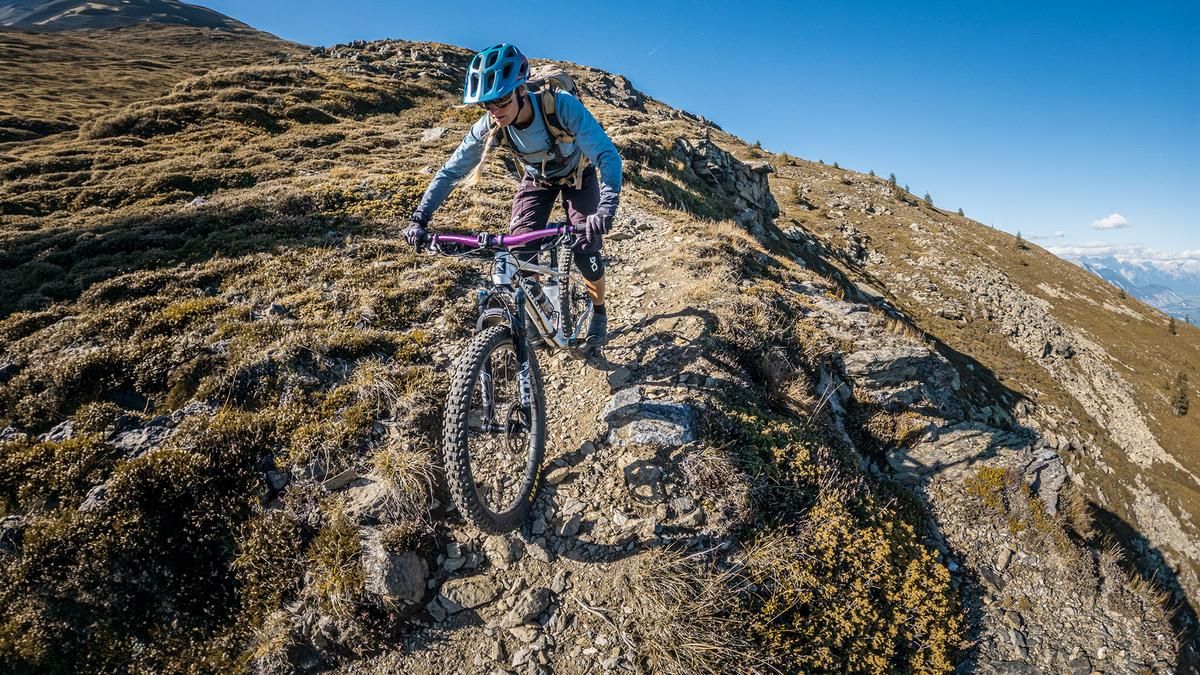
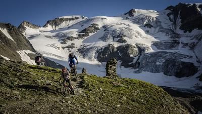
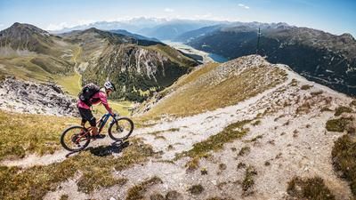
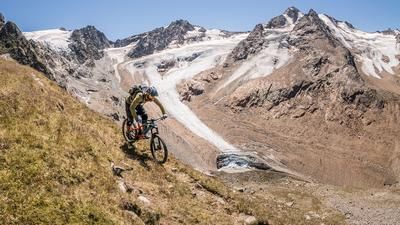
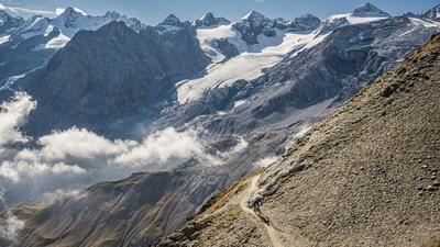
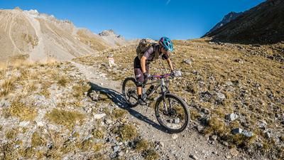
The tour begins in Burgeis. From this small historic village, head north on the official bike route to Lake Haidersee. At Lake Haidersee, follow the forest road or farm road. On gravel, and with some inviting panoramic views along the way, the climb rises steadily to the Grosser Pfaffensee. Up to that point, the route is rideable almost the entire way, even though the last few meters to the lake are on a singletrack. The route continues uphill at this pace, but the trail becomes narrower and, in places, somewhat more challenging, so you’ll need to plan for sections where you’ll have to push your bike. Above the tree line, the route runs very gently along the ridge below the Galtberg to the Watles at 2,555 meters above sea level. The distinctive metal summit cross marks the highest point of the tour and offers sweeping views of the Ötztal Alps, the Vinschgau Valley, and the Stelvio National Park.
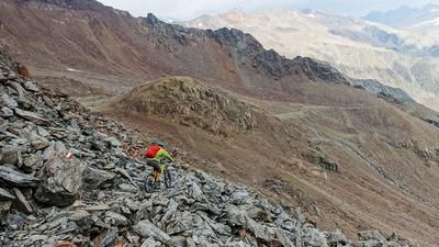
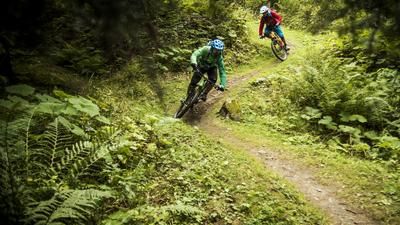
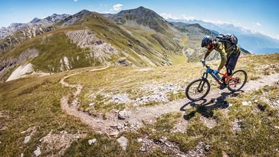
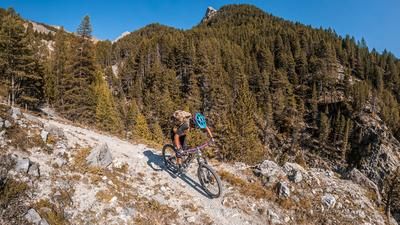
Then the descent begins. What follows is a varied mix of flowing sections above the tree line with difficulty levels ranging from S2 to, in places, S2+, down to the Watles mountain station. From there, the route continues through forested terrain on a narrow singletrack with difficulty levels of S2 and S2+, then crosses the Seppele Steig in the southern section below the Watles. Via the trail shortcuts, the route finally leads back to the starting point in Burgeis.
Map & GPX-Track
The map is only available to Ride subscribers.
The Ride-Subscription is available at ride-mtb.com/abo
.
Details of the tour
28 km
1400 m
1420 m
1196 above sea level
2522 above sea level
1 day
Burgeis
Burgeis
3814
limited
More information
More tours nearby












User comments (0)

About the author: Martin Depauli
Note: This content has been automatically translated from German. Please report any incorrect translations.