

Rossböden-Trail – Langtauferer Höhenweg

Description
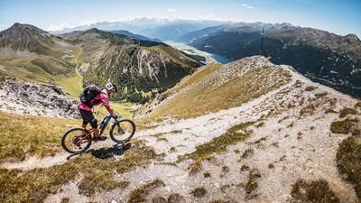
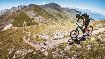
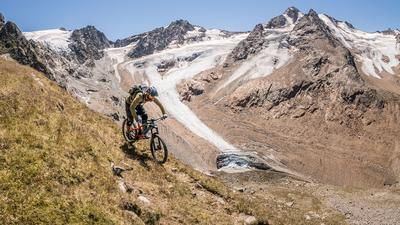
The starting point is the classic photo hotspot of Graun in the Vinschgau Valley with the sunken village where the church tower rises out of the water. From here, head north on the cycle path along Lake Reschen before turning right at Arlund and pedaling up the forest road at a constant gradient to the Rossböden Alm. After leaving the tree line at the latest, the panorama is one of the best in the entire Alpine region. King Ortler is in sight, with Lake Reschen below and the foothills of the Vinschgau Valley providing an almost kitschy mountain backdrop. The ascent is also visually enhanced by the sight of highland cattle. At the Rossböden Alm, turn left onto the Langtauferer Höhenweg trail up to the ridge below the Plamorter Spitze at an altitude of around 2700 meters above sea level. Here, the bike is pushed or carried to the top.
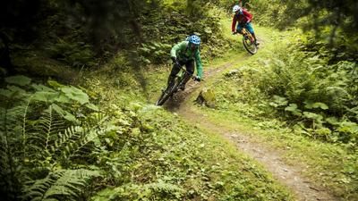
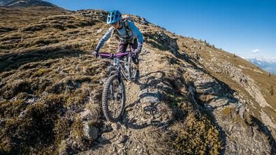
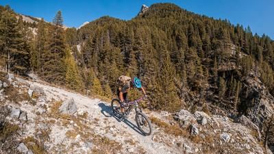
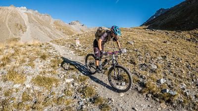
At the Joch, the highest point of the tour is reached and you can prepare for the downhill. On a military road from the Second World War, which in the meantime has mutated into a super smooth trail descent (difficulty S1, only S2 in places), you return to the starting point. A fantastic descent that is second to none. A never-ending trail leads back to Graun in the Vinschgau Valley. Only in the middle section are two sections somewhat blocked by a quarry, the rest is a pleasure that is second to none. The trail ends directly at the starting point, the photo hotspot at the sunken village of Graun in the Vinschgau Valley.
Map & GPX-Track
The map is only available to Ride subscribers.
The Ride-Subscription is available at ride-mtb.com/abo
.
Details of the tour
17 km
1120 m
1120 m
1500 above sea level
2636 above sea level
1 day
Graun
Graun
2483
limited
More information
More tours nearby





User comments (0)

About the author: Martin Depauli
Note: This content has been automatically translated from German. Please report any incorrect translations.