

Stammerjoch
Description
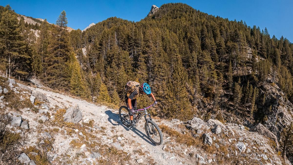
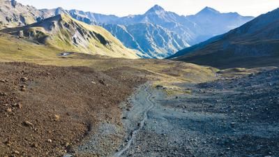
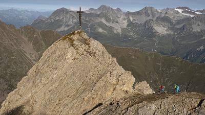
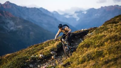
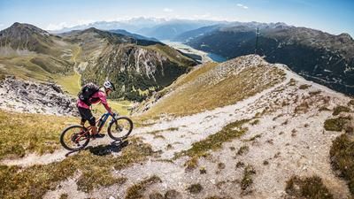
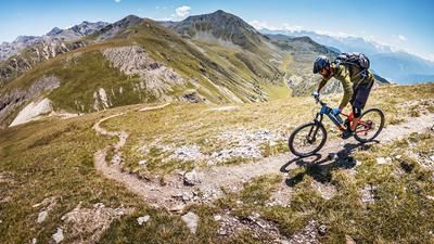
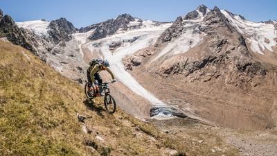
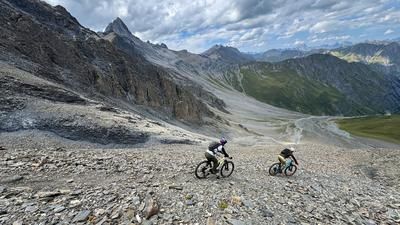
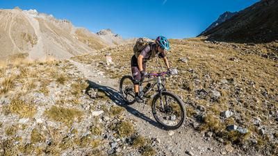
The tour starts in Samnaun. From here, the route initially follows a few meters of gravel, with a view of the Mutler, steadily heading up the valley toward the south. The path grows increasingly narrow and transitions into a flowing trail in Val Maisas, where you’ll need to walk or push your bike in some sections. This is followed by the ascent toward Stammerjoch at just under 2,700 meters above sea level along the eastern flank of the ridge, past the small mountain lakes. At the highest point of the tour, the Stammerjoch at 2,688 meters above sea level, impressive panoramic views open up, framed by massive 3,000-meter peaks.
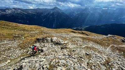
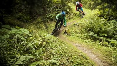
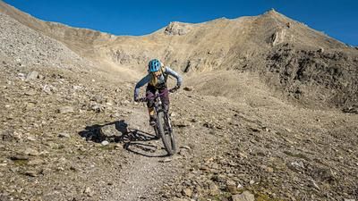
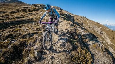
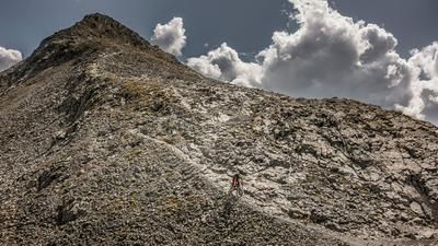
Then the descent begins. In the upper section, the route—rated S3 in difficulty—is challenging, descending steadily in switchbacks. In the lower section, the trail becomes increasingly smooth to ride and, toward the end, presents no major changes before the loop closes in Samnaun. Overall, this is an impressive traverse with relatively little elevation gain, which is of interest to technically skilled mountain bikers.
Map & GPX-Track
The map is only available to Ride subscribers.
The Ride-Subscription is available at ride-mtb.com/abo
.
Details of the tour
10 km
780 m
780 m
1840 above sea level
2611 above sea level
1 day
Samnaun
Samnaun
3808
not suitable
More information
More tours nearby





















User comments (0)

About the author: Martin Depauli
Note: This content has been automatically translated from German. Please report any incorrect translations.