

Muttenjoch Rundtour
Description
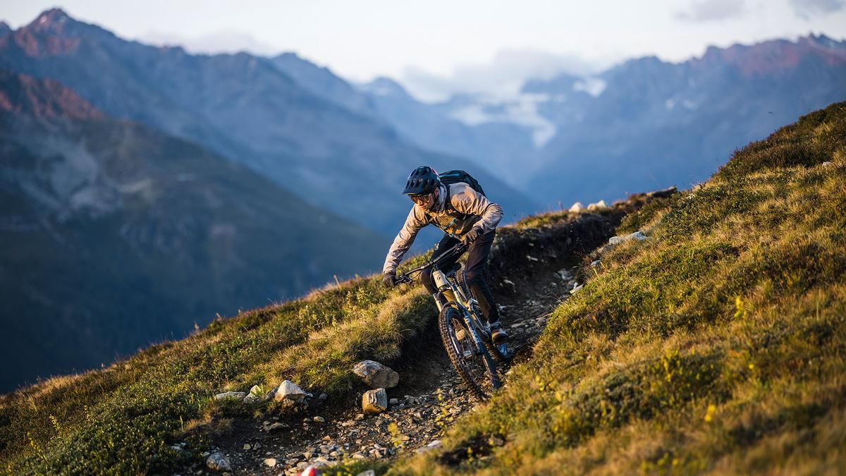
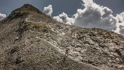
From Mathon, head up the main road toward Galtür and, shortly after passing Wirl, turn right toward the Zeinisjoch. At the dam, begin the climb to the Heilbronnerhütte. After the hut, you’ll push your bike a few meters up a singletrack, which soon becomes rideable again as it descends into the Ochsental valley. Over a 270-meter elevation gain, you’ll then have to carry your bike up to the Muttenjoch. You’ve reached the highest point. The descent is extremely steep at first but becomes increasingly rideable. You’ll pass the Friedrichshafenerhütte and take the challenging singletrack down, crossing the small ascending road several times. The descent leads directly back to the starting point in Mathon.
Note: The route is located on Austrian territory and leads over routes that are not approved for mountain bikers. Riding this route on a mountain bike is the responsibility of each individual, in full awareness of the legal situation.
Map & GPX-Track
The map is only available to Ride subscribers.
The Ride-Subscription is available at ride-mtb.com/abo
.
Details of the tour
33 km
1415 m
1415 m
1467 above sea level
2615 above sea level
1 day
Mathon
Mathon
1543
not suitable
More tours nearby






User comments (0)

About the author: Thomas Giger
Note: This content has been automatically translated from German. Please report any incorrect translations.