

Muttenjoch
Description
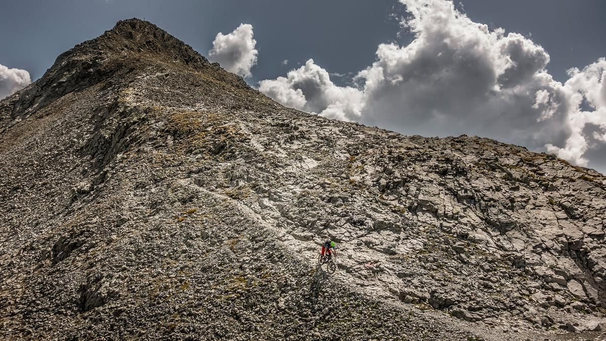
The route starts on Paznauntalstrasse, above the Trisanna Gorge near Valzur. From here, a classic forest road winds steadily uphill toward the Friedrichshafen Hut. You can also stop for a break there. The route then continues on a gravel path up to just under 2,300 meters above sea level. From here on, you’ll need to carry your mountain bike, and it stays that way until the tour’s highest point, the Muttenjoch at 2,620 meters above sea level. At the top, a sweeping view opens up to the west and east, nestled within an impressive mountain backdrop. The rugged rock formations, combined with the mountain lakes, give the Verwall Mountains a unique natural landscape.
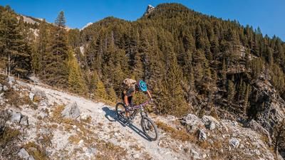
The descent from the pass to the start of the forest road is a relatively tricky ride with some massive rock slabs, boulders, and fast-flowing sections. The trail ranges from S3 to S4, with some sections rated S2. Continue south on the forest road toward the shelter or the panoramic bench before the next section of the trail begins. A top-notch singletrack leads downhill across the south-facing slope, passing through the avalanche barriers. Starting on gravel and then on forest floor in the lower section, the line winds cleanly downhill. The difficulty reaches S2, and shifting the kick turns helps to keep the descent flowing smoothly. In the lower section, you re-enter urban areas above the Fila Farm and wind your way back to the starting point along main and side roads.
Note: The route is located on Austrian territory and leads over routes that are not approved for mountain bikers. Riding this route on a mountain bike is the responsibility of each individual, in full awareness of the legal situation.
Map & GPX-Track
The map is only available to Ride subscribers.
The Ride-Subscription is available at ride-mtb.com/abo
.
Details of the tour
16 km
1095 m
1095 m
1535 above sea level
2600 above sea level
1 day
Ischgl
Ischgl
3775
not suitable
More information
More tours nearby






User comments (1)

About the author: Martin Depauli
Note: This content has been automatically translated from German. Please report any incorrect translations.
I know the trail through the avalanche barriers, which I think starts off great but then really loses its flow. The trail is a struggle for every meter of descent, with the switchbacks all extremely narrow—some even unrideable. I find this descent very grueling and prefer the trail down from the Friedrichhafener Hütte.