

Fuorcla Davo Dieu – Nordversion
Description
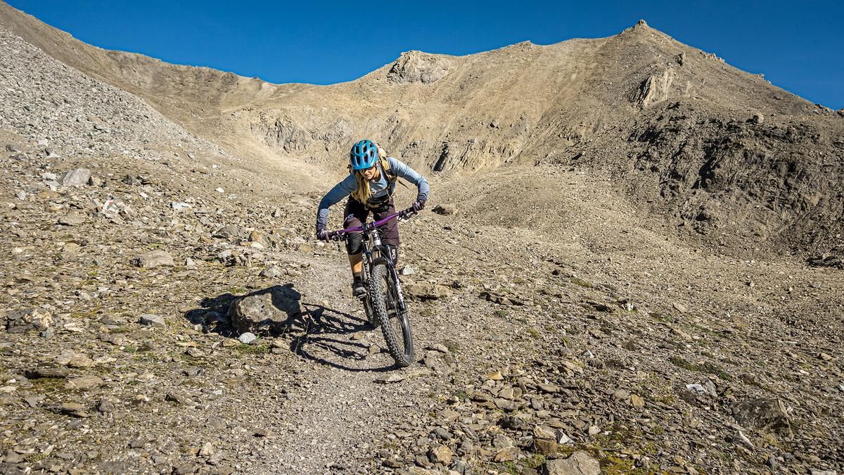
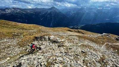
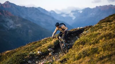
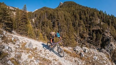
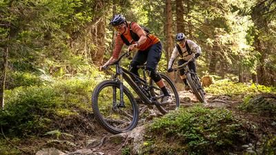
The tour begins in Austria at the Fimbabahn parking lot in the Ischgl ski area. From there, the trail leads either along a gravel road via the access road and across the Austrian-Swiss border to the Heidelberger Hütte. Alternatively, you can use the cable car system toward Flimjoch, then follow the ridge trail down to the Heidelberger Hütte. From the Heidelberger Hütte, the route winds through an impressive mountain panorama, requiring walking and pushing in some sections, up to the Fimber Pass—which is fully rideable on an e-mountain bike. The Fimber Pass, at 2,608 meters above sea level, is the first alpine pass crossing. The descent along the south slope is impressive. Depending on erosion and weather conditions, sections rated S2 and, in places, S3 alternate with very smooth stretches, resulting in a varied descent overall.
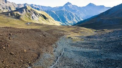
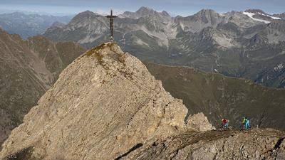
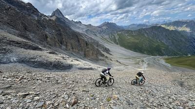
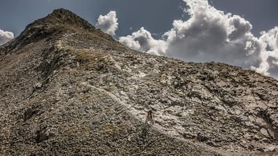
At just under 1,900 meters above sea level, the singletrack serves as a crossing; afterward, the ascent continues—also involving pushing and pedaling in sections—to the lake below the Fuorcla Davo Dieu. Then you’ll need to carry your mountain bike 150 meters of elevation gain over a steep scree field to 2,807 meters above sea level. The second pass crossing lies about 200 meters higher than the Fimber Pass and feels distinctly more alpine. The north-facing descent into the Fimber Valley also begins with a downhill walk of about 100 meters in elevation before the trail begins. The route then winds down to the trail that others use as an ascent from the Heidelberger Hütte to the Kronenjoch. S2-rated sections are to be expected, though the trail is very well-maintained from Foppa Trida onward and, since summer 2026, has remained fully rideable thanks to wooden elements. You can stop for a break at the Heidelberger Hütte before finishing the ride with a few meters on the gravel road and along challenging trail shortcuts back to the starting point.
Note for e-mountain bikers: Anyone capable of carrying their e-mountain bike for about 150 meters of elevation gain on steep terrain can tackle this tour on an e-mountain bike. This makes all other ascents easily rideable.
Map & GPX-Track
The map is only available to Ride subscribers.
The Ride-Subscription is available at ride-mtb.com/abo
.
Details of the tour
47 km
1560 m
2945 m
1352 above sea level
2841 above sea level
1 day
Ischgl
Ischgl
3811
limited
More information
More tours nearby













User comments (0)

About the author: Martin Depauli
Note: This content has been automatically translated from German. Please report any incorrect translations.