

Alp Clünas Extended
Description
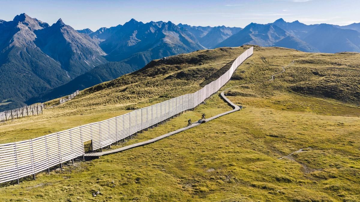
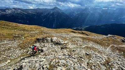
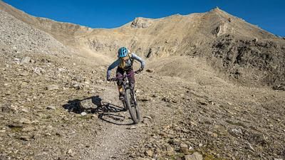
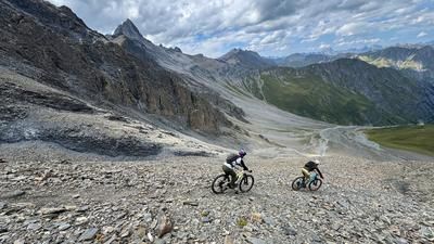
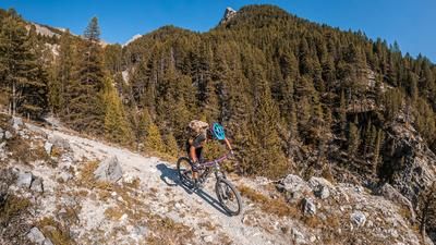
The tour starts at the upper station of the Motta-Naluns cable cars. From there, you can either hike up a gravel road or, during the summer months, take the chairlift to reach the smooth, gently ascending singletrack that leads across to Alp Clünas. Now it’s worth taking a detour to Piz Clünas. There, you’ll first have to push your mountain bike up a winding path; the last fifty meters must be carried. With an e-mountain bike, this section is a bit of a struggle, but well worth it. The view of the Lower Engadine from the summit is first-rate, as is the S2 descent on the north side.
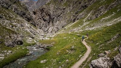
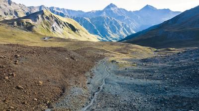
A well-gripped trail leads down to Lai da Mischun and from there back onto the gravel road, which continues on to Muot da l'Huom. If you skip Piz Clünas, simply follow this gravel road instead of the trail to the summit. Muot da l’Huom is the starting point of the beautiful S1 single-track descent to Alp Laret and on to the remote Val Tasna. This impressive trail ends at the valley floor near Alp Valmala.
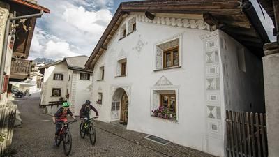
Afterward, cross to the opposite side of the valley and take the trail—which is once again beautiful—that runs along the contour line, or rather climbs slightly, to the ridge near the main valley of the Lower Engadine, where it transitions into a descent. First, you ride briefly on gravel, then continue on a trail almost all the way to Ardez. There, you switch to the small road toward Ftan. You can either follow the small road all the way to Ftan or, after the bridge, take the trail that runs slightly above the road. This takes you to Ftan and up the road to the valley station of the chairlift. Take the chairlift to extend the tour; after reaching the mountain station, continue up the gravel road to Motta Naluns, where the tour began at the mountain station of the gondola. To finish up, there’s the Clozza Trail—a challenging and varied S3 trail that ends just above the center of Scuol.
Map & GPX-Track
The map is only available to Ride subscribers.
The Ride-Subscription is available at ride-mtb.com/abo
.
Details of the tour
34 km
950 m
2200 m
1279 above sea level
2760 above sea level
1 day
Scuol
Scuol
3636
well suited
More information
More tours nearby








User comments (1)

About the author: Thomas Giger
Note: This content has been automatically translated from German. Please report any incorrect translations.
Tip for optimizing the singletrack: Above Ardez, at point 1742, turn left onto the hiking trail across the alpine meadow. Then, at Ruina Chanoua, turn right briefly and immediately left again onto the singletrack (point 1607) until you reach the road to Ftan.