

Muttler
Description
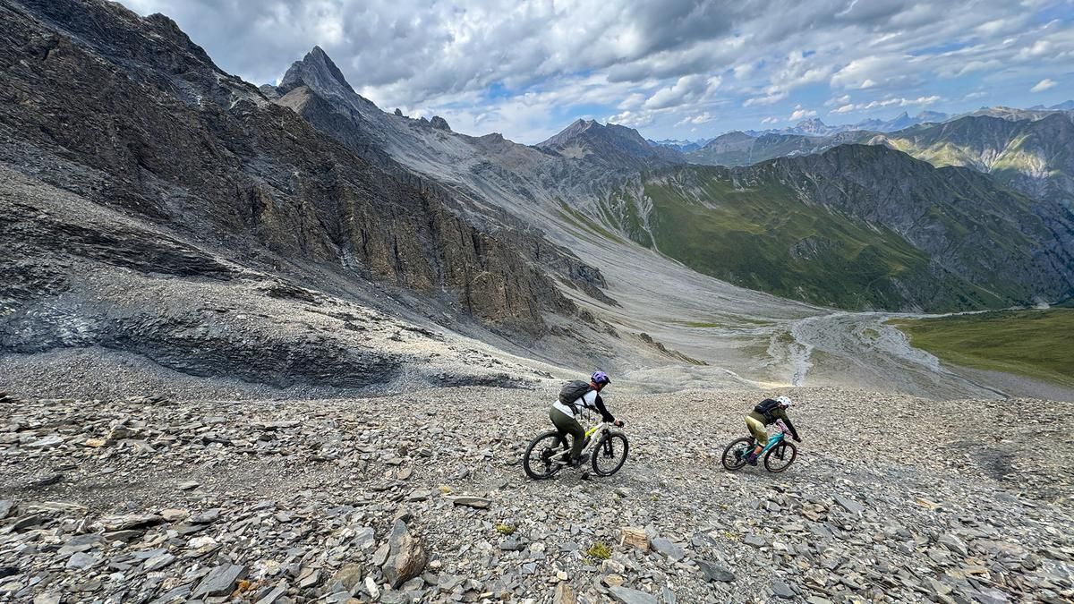
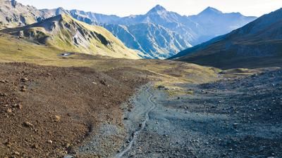
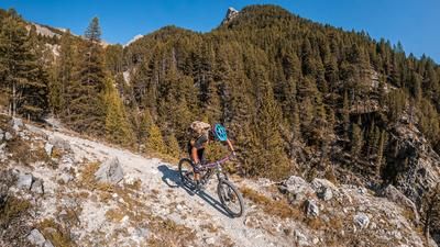
Let’s get this out of the way right off the bat: The mountain bike tour up the Muttler is no ordinary route. If you want to make it to the top, you’ve got to really want it. Even the initial climb to the alp in Val Maisas is tough—a steep gravel road leads from Samnaun to the hut, which is 200 meters higher in elevation. For mountain bikers, however, the real grind doesn’t begin until there. A few meters past the alp, you turn left and push and carry your mountain bike up a little over 700 meters in elevation to the Rossbodenjoch. Up to this point, you can push your bike whenever necessary. For the rest of the tour, however, you’ll have to carry it on your shoulder. The trail leads directly to the summit, gaining just over 500 meters in elevation. At the 3,000-meter mark, you can set your mountain bike aside. From here, the trail becomes even steeper and is effectively unrideable on the descent. However, the Muttler summit is easily accessible on foot and offers a phenomenal panoramic view.
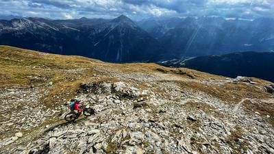
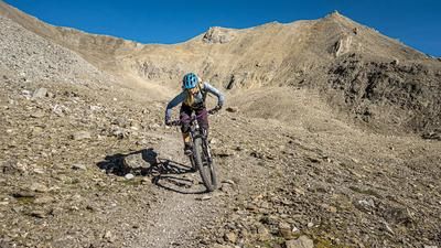
The descent then follows the ascent route back to the Rossbodenjoch. The trail here is so steep and slippery that it is virtually unrideable. Below 3,000 meters above sea level, the trail (S4) is then reasonably rideable for experienced mountain bikers. At the Rossbodenjoch, for the return trip to Samnaun, you can either follow the ascent trail or head left directly down into Val Maisas. This S3 trail, with some S4 sections, is now almost effortless to ride and eventually leads back down through the valley floor—a very fun ride—to the alp, where you follow the last few meters of the steep gravel road back to Samnaun.
Note: The ascent to the Muttler from the south via the southwest ridge is not possible on a mountain bike. Although there is a trail, there is a section directly below the summit where you have to do about ten meters of easy climbing, which would be too dangerous with the mountain bike on your shoulder.
Map & GPX-Track
The map is only available to Ride subscribers.
The Ride-Subscription is available at ride-mtb.com/abo
.
Details of the tour
14 km
1370 m
1370 m
1845 above sea level
3240 above sea level
1 day
Samnaun
Samnaun
3815
not suitable
More information
More tours nearby








User comments (0)

About the author: Thomas Giger
Note: This content has been automatically translated from German. Please report any incorrect translations.