

Radsattel

Description
The tour over the Radsattel via Wiesbadener Hütte starts on the Bielerhöhe. The route along the Silvretta reservoir is ideal for getting started before the alpine road climbs significantly shortly before the end of the lake. Some of the ramps are challengingly steep and only just rideable on an organic mountain bike. The second section of the ascent to the Wiesbadener Hütte is easier to ride again.
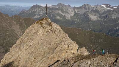
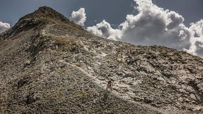
The ascent from the Wiesbadener Hütte is then mostly on foot, but can be pushed for the most part, although carrying is easier in places. After around 150 meters in altitude, a small plateau is reached and a short, fun descent provides a change of pace before the final ascent begins. After a further 100 meters in altitude, the 2652-meter-high saddle is reached - but neither in the saddle nor on the bike. From here, your efforts are rewarded with an impressive view: to the south and southwest of the border mountains of Piz Buin and Silvrettahorn, to the north of Kleinvermunt, which rides towards Ischgl.
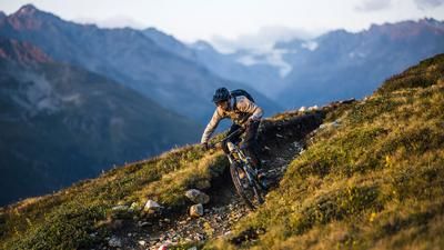
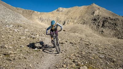
The subsequent descent into the Bieltal starts promisingly, but soon becomes as rugged as the surrounding peaks. Sections without paths alternate with smooth rock slabs and loose gravel passages - a paradise for technically experienced mountain bikers who love challenges and searching for lines.
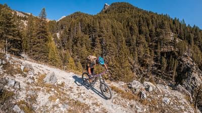
Where the steep section ends at the Bieltalbach stream, the more rideable part of the descent begins. However, it is not easy, as demanding sections require full concentration time and again. The last 100 or so Elevation losses lead back to the Bielerhöhe and the parking lot at the reservoir on the alpine road.
Note: The route is located on Austrian territory and leads over routes that are not approved for mountain bikers. Riding this route on a mountain bike is the responsibility of each individual, in full awareness of the legal situation.
Map & GPX-Track
The map is only available to Ride subscribers.
The Ride-Subscription is available at ride-mtb.com/abo
.
Details of the tour
15 km
750 m
750 m
2014 above sea level
2652 above sea level
Bielerhöhe
Bielerhöhe
3550
limited
More information
Pictures from the tour
Impressions bike saddle tour


More tours nearby






User comments (0)
About the author: Balz Weber
Note: This content has been automatically translated from German. Please report any incorrect translations.