

Grieskogeljoch – Muttenjoch

Description
From Mathon in the Paznaun Valley, the trail heads straight into the mountains: Following a well-maintained gravel road, you’ll climb steadily for nearly 900 meters in elevation toward the Friedrichshafener Hut. However, you’ll pass the hut on your right and keep pedaling on to the idyllically situated Grieskogelsee—the perfect spot for a first break with a view.
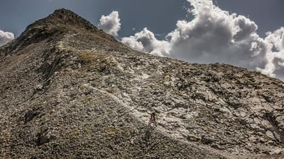
This is where the alpine adventure begins. You’ll have to carry or push your bike, as the steep trail up to the Grieskogel Pass leaves little room for pedaling. While some sections can be ridden on an e-mountain bike, you’ll still need to push in places. The trail is well-constructed and manageable—only just before the ridge is there a slightly narrower key section.
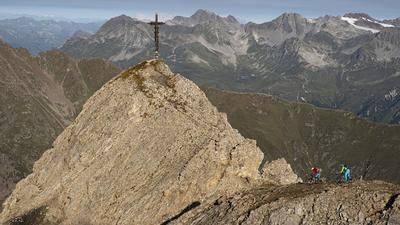
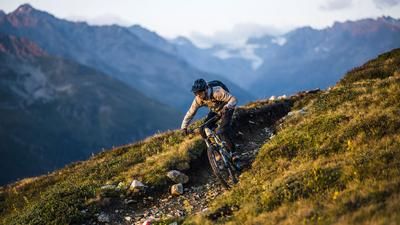
At the top of the Grieskogel Joch, the panorama opens up to the north: the turquoise-blue Muttenseen lakes are in direct view. The subsequent descent to the lake landscape is a real highlight: high-alpine, fluid, fun—an S2-rated trail with occasional technical sections. At the lakes, you leave the official trail and make your way off-trail through the terrain—a short but exciting interlude that requires sure-footedness.
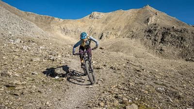
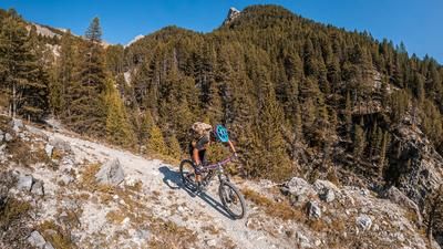
After a few minutes, you reach the ascent trail to the Muttenjoch. Here, too, you’ll need to shoulder your bike, though it’s only about 80 meters of elevation gain before reaching the highest point of the loop. From the Muttenjoch, the big trail descent begins: a technically challenging S3 trail leads down to the Friedrichshafener Hütte. Good line choice is essential here, as the alpine character remains prominent. Below the hut, the route continues on a varied trail: rough at the top, flowy in places, and later more challenging again in the forest—a wild ride through every type of natural trail terrain. In the lower section, the trail becomes rideable again and leads almost all the way back to the starting point in Mathon.
Note: The route is located on Austrian territory and leads over routes that are not approved for mountain bikers. Riding this route on a mountain bike is the responsibility of each individual, in full awareness of the legal situation.
Map & GPX-Track
The map is only available to Ride subscribers.
The Ride-Subscription is available at ride-mtb.com/abo
.
Details of the tour
19 km
1190 m
1190 m
1541 above sea level
2691 above sea level
1 day
Mathon
Mathon
3594
limited
More information
More tours nearby






User comments (0)

About the author: Thomas Giger
Note: This content has been automatically translated from German. Please report any incorrect translations.