

Langtauferer Höhenweg – 7er-Trail

Description
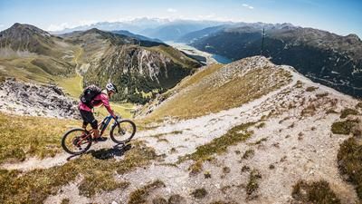
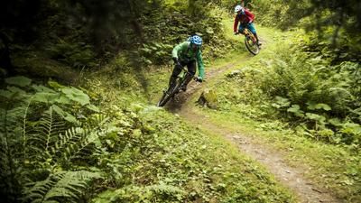
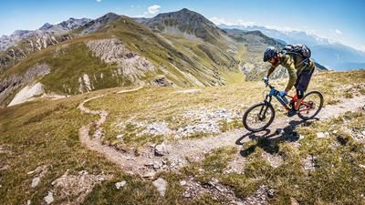
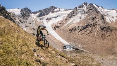
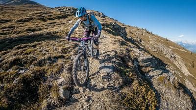
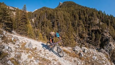
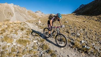
The starting point is Graun in Vinschgau, with its legendary church in the lake. From here, the route climbs on gravel towards the Rossböden Alm (2364 meters above sea level). On a feeder road to the alpine pasture, you pedal initially within the forest boundary, later with a view of Lake Reschen and the Ortler up to the intersection of the road and the Langtauferer Höhenweg. The bike is then pushed up to the saddle above Lake Pedross. The mountain scenery becomes more and more impressive and the views more impressive. From the Joch, the route then takes you over Lake Pedross along the 4-seater trail (Langtauferer Höhenweg), past the former barracks of the Vallo Alpino to just below the Radurschlscharte (2666 meters above sea level). The high trail, once built as a fortification line, has since mutated into a fantastic trail with a difficulty of S1, in places S2. From the point below the Radurschlscharte, the trail then descends completely. On difficulty level S2, the trail leads past the Äußere Schäferhütte and down to Melag. There are a few hairpin bends to master in the forest and then the Langtauferer Talweg trail is used to roll out before finally arriving back at the starting point in Graun in the Vinschgau Valley.
Map & GPX-Track
The map is only available to Ride subscribers.
The Ride-Subscription is available at ride-mtb.com/abo
.
Details of the tour
34 km
1620 m
1620 m
1500 above sea level
2711 above sea level
1 day
Graun
Graun
2485
well suited
More information
More tours nearby






User comments (5)

About the author: Martin Depauli
Note: This content has been automatically translated from German. Please report any incorrect translations.
We rode the tour in absolutely glorious weather—the panoramic views really can’t be beat! On the high-altitude trail, you keep reaching new peaks in this secluded mountain landscape. Most regular cyclists have to push their bikes up quite a few climbs. Just when you think it can only go downhill from here, another steep climb pops up. With an e-bike, most of it is rideable for those in good shape. From Melag, I’d take the road right away, since you’ll have to tackle some brutal climbs again—they’re not really trails. Great tour!
Rode to GPX on 17.6.25 - or certainly pushed 4-5 climbs. Never mind.
Super nice tour with great views of Ortler and Weißkugel.
I absolutely agree with Willibald. The tour could therefore also be ridden in the opposite direction and the Rossbödentrail used as a descent.
Super tour. Super landscape, super trails. But tough without an eMTB, as you have to push again and again. But I would do the tour again at any time.
The way back from Langtauferer Tal to Reschensee is not really recommended. Either on the road or back on the other side of the valley on a forest track
The tour can also be extended all the way back to the Melager Valley.