

Seebodenspitz

Description
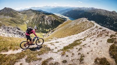
The tour begins in St. Valentin auf der Haide. From there, the classic forest road—or access road—leads into the ski area as far as the Haideralm; alternatively, you can take the Haideralm mountain railway up. You’ll then carry your mountain bike on your back or push it up hiking trails 10 or 16 until you reach the tour’s highest point, the Seebodenspitz, at 2,860 meters above sea level. The challenging ascent is accompanied by an impressive mountain panorama away from the hustle and bustle. At the summit, the view opens up to the Ötztal Alps, the Verwall Group, and the Vinschgau Valley with the Stelvio National Park.
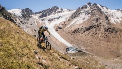
The descent is very challenging in places in the upper section, but also offers smooth, flowing sections in between. On loose terrain, the high-alpine atmosphere offers real variety, complemented by a few challenging key sections rated S3 that technically skilled riders can master. Once you arrive at the Haideralm, you have the choice between a flow trail and a slightly more technical descent. The official trails should be dry, as roots and loose soil otherwise increase the difficulty. The “Haider Flow Trail” ends right back at the starting point in St. Valentin auf der Haide.
Map & GPX-Track
The map is only available to Ride subscribers.
The Ride-Subscription is available at ride-mtb.com/abo
.
Details of the tour
10 km
650 m
1345 m
1462 above sea level
2817 above sea level
1 day
St. Valentin
St. Valentin
3813
not suitable
More information
More tours nearby










User comments (0)

About the author: Martin Depauli
Note: This content has been automatically translated from German. Please report any incorrect translations.