

Berghütte Maseben

Description
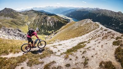
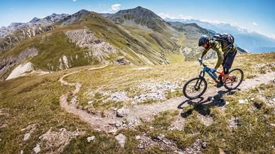
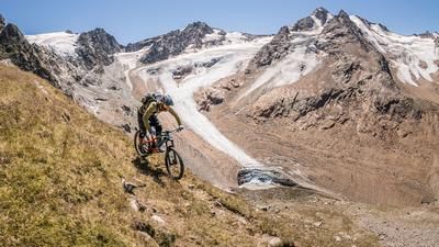
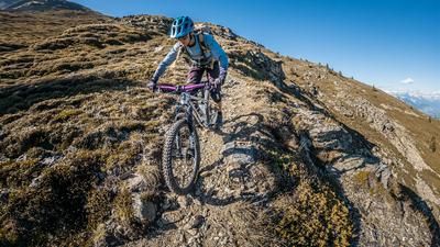
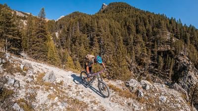
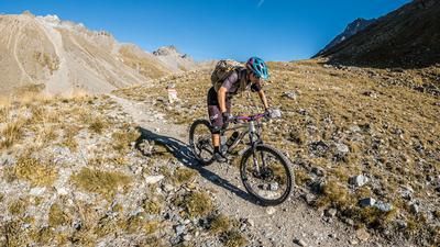
The route starts in the Langtauferer Tal valley at the lift parking lot. From here, you wind your way up the feeder road via the Maseben Alm to the Maseben mountain hut (2267 meters above sea level). From this altitude, you are already above the tree line and have fantastic views to the north of the Weißseespitze and back to the Langtauferer Ferner. The 17er hiking trail towards Rotebenkopf is high alpine and partly pedalable. E-mountain bikers clearly have the edge here. Once you reach the highest point of the tour in the basin, you take a single trail with a maximum difficulty of S2 back to the Melager Alm (1970 meters above sea level). The hairpin bends are fantastic and you work your way down bit by bit. From the Melager Alm, you then head back down the Melager Tal valley along the last trail sections to Melag. Here, however, special attention must be paid to the trail closures, as the water has unfortunately done a great job in recent months and years. The last few meters are then on asphalt back to the starting point.
Map & GPX-Track
The map is only available to Ride subscribers.
The Ride-Subscription is available at ride-mtb.com/abo
.
Details of the tour
13 km
615 m
615 m
1868 above sea level
2450 above sea level
1 day
Kappl
Kappl
2478
well suited
More information
More tours nearby





User comments (0)

About the author: Martin Depauli
Note: This content has been automatically translated from German. Please report any incorrect translations.