

Saderer Joch

Description
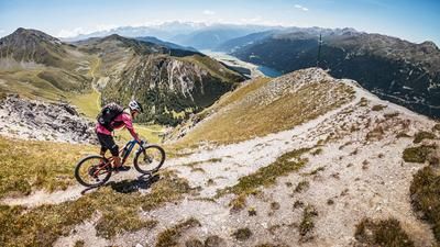
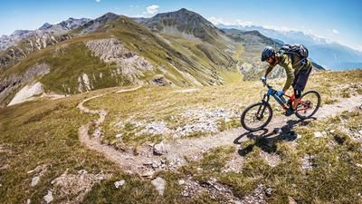
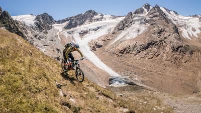
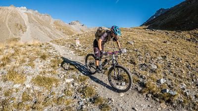
The ascent to the Saderer Joch (2397 meters above sea level) is quickly told: From Nauders, you take a gravel road up to the Labaunalm and on to the Hochleger. For the last stretch to the pass, you follow the singletrail, initially uphill and only at the very end do you have to push a little because the path is a bit blocked. On the saddle (and on the entire ascent) there is a first-class panorama of Nauders with the Ortler in the background and the Lower Engadine. At the very top, there is also a view of the striking peaks of the Kaunertal valley.
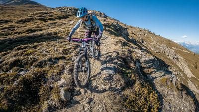
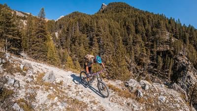
The descent down into the Radurschtal valley rides along a long and great singletrack, usually at S2 level with individual S3 sections. You always follow the Saderer Bach stream and reach a gravel road far below, which you follow downhill for a good stretch. Finally, turn right onto a gravel road, which later turns into the Klammsteig trail down to Pfunds. This path rides along the narrow valley floor alongside the Radurschlbach stream down to the village. Caution: Hikers can also be found on this section and the path is exposed and narrow in places. Above-average consideration is required.
To return to Nauders, take the line bus. Bicycle transport is possible on this bus if there is sufficient space, and a bicycle trailer is carried on some connections.
Note: The route is located on Austrian territory and leads over routes that are not approved for mountain bikers. Riding this route on a mountain bike is the responsibility of each individual, in full awareness of the legal situation.
Map & GPX-Track
The map is only available to Ride subscribers.
The Ride-Subscription is available at ride-mtb.com/abo
.
Details of the tour
21 km
1060 m
1450 m
957 above sea level
2406 above sea level
1 day
Nauders
Nauders
2399
well suited
More information
More tours nearby






User comments (0)

About the author: Thomas Giger
Note: This content has been automatically translated from German. Please report any incorrect translations.