

Weißkugelhütte - Richtersteig

Description
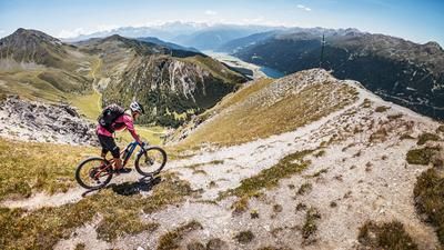
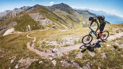
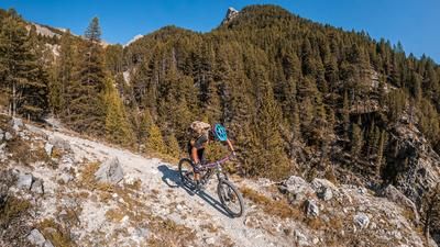
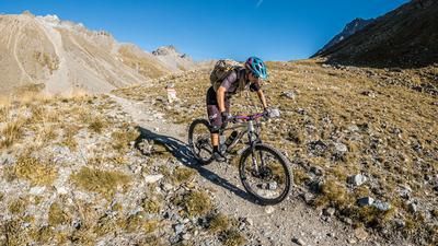
The starting point of the tour is the small village of Melag in the Langtaufer Valley. From here, it is a relaxed ride on gravel to the Melageralm. At the Melageralm at almost 2000 meters above sea level, you can still pedal a few meters before the bike finally ends up in your hands or on your back and from here you only have to push or carry it uphill. Up to the Weißkugelhütte, it is already a high alpine biking dream come true. Embedded in the massive rock formations surrounded by the 3000m peaks, there is nothing left to be desired in this respect. We pass the Weißkugelhütte and finally take the Richterstieg up to almost 3000 meters above sea level. It should be noted that this is a high alpine tour! A short section of the Richtersteig is secured by ropes, so surefootedness, alpine experience and a head for heights are required. This is the only way to get up and down. The Richtersteig trail continues without difficulty up to almost 2900 meters above sea level to the Vernaglwände. This is where the last lake insurance and very steep terrain finally begins. A bike depot can be set up here and the last 200 vertical meters to the top of the Vernaglwände can be covered on foot. There is no point in taking your bike here.
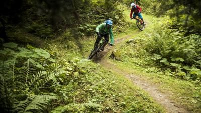
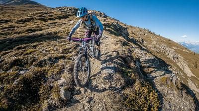
The descent from the bike depot is difficulty S2 to S3. Alpine, challenging, but embedded in a scenic mountain world that is second to none. As already mentioned, in the middle section there is a section secured by ropes that has to be negotiated. The route then continues in S2 to S3 style to the Weißkugelhütte and back down again with the same difficulty to the Melageralm, and then on a flow trail back to Melag.
Note: Due to the heavy storms, the Karlinbach stream next to the Melageralm has eroded the banks so that the short trail section parallel to the gravel road is not rideable (as of summer 2022). Damage of this kind is also to be expected along the entire route, as high alpine terrain is used.
Map & GPX-Track
The map is only available to Ride subscribers.
The Ride-Subscription is available at ride-mtb.com/abo
.
Details of the tour
16 km
960 m
960 m
1899 above sea level
2869 above sea level
1 day
Melag
Melag
2727
More information
More tours nearby





User comments (0)

About the author: Martin Depauli
Note: This content has been automatically translated from German. Please report any incorrect translations.