

Endkopf Nordabfahrt

Description
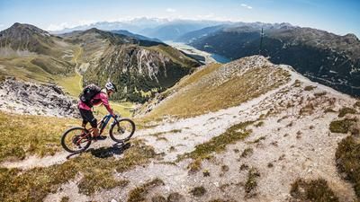
The route starts in Graun in Vinschgau, at the church by the sunken village. From here, the route initially follows the Langtauferer valley road on asphalt for a few meters before turning right and pedalling steadily on gravel at a moderate gradient to the Grauner Alm. From the forest clearings on the ascent, there is a fabulous view of Lake Reschen all the way to the Ortler group, showing the king in all his glory. The route continues uphill in this manner until the Grauner Alm. Afterwards, the bike is pushed or brought up to the saddle, which is about 450 meters above sea level, and then up to the Endkopf. The summit cross of the Endkopf is slightly lower than the highest point, but due to its position it offers a rich panorama and strong views of Lake Reschen, as the western side is extremely crumbly and slopes steeply.
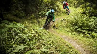
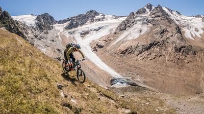
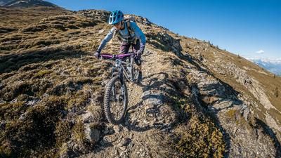
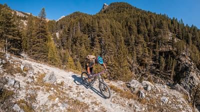
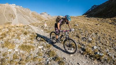
The downhill is also steep, in this case first over the ridge and then dropping to the north. From the summit cross to the yoke itself, the descent is on difficulty S2, with unbeatable panoramic views. This suddenly changes difficulty in the area of the saddle to the north. Here you are on a thoroughbred S3 trail and must be in good concentration and physical condition to complete these sections without any problems. The trail continues in this manner on hiking trail 10B down to the forest road to Riegelwald. Here, the trail suddenly becomes more flowy and takes you back to Poschen, or just below Pedross. The remaining meters are then covered on asphalt along the Rio Carlino to the starting point. All in all, a great and somewhat hidden tour on Lake Reschen, which impresses with a breathtaking panorama and a crisp descent.
Map & GPX-Track
The map is only available to Ride subscribers.
The Ride-Subscription is available at ride-mtb.com/abo
.
Details of the tour
18 km
1120 m
1120 m
1501 above sea level
2601 above sea level
1 day
Graun
Graun
2479
not suitable
More information
More tours nearby






User comments (0)

About the author: Martin Depauli
Note: This content has been automatically translated from German. Please report any incorrect translations.