

Malettes

Description
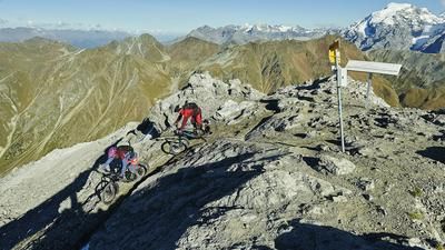
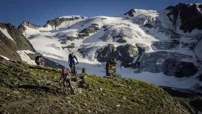
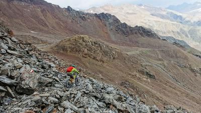
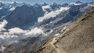
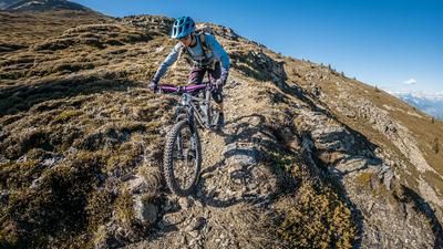
From Mals, take the country road via Glurns to Schluderns. This is where the ascent begins, initially past the Churburg castle and finally over the Saldurbach stream on the 20er path to Matsch. Above the village, the route continues and follows the Matscherwaal for a while, before later ascending on a forest road through the Tartscherwald forest. At a right-hand hairpin bend at 1780 meters above sea level, follow the 18er trail straight ahead. Here you have to push your bike a few meters. Before you reach the next forest road, a trail branches off to the left, which eventually rides over a large clearing and a short section of forest road to Malettes. Now follow the marked 12-path to the outskirts of Mals. This descent is considered to be one of the "flowiest" routes far and wide.
Note: The municipality of Malles/Mals has criminally banned biking on the 12er trail (as of summer 2019).
Alternatives: Ascent from Tartsch/Tartsch via Gamassen to the start of the trail
Map & GPX-Track
The map is only available to Ride subscribers.
The Ride-Subscription is available at ride-mtb.com/abo
.
Details of the tour
25 km
1080 m
1080 m
900 above sea level
1847 above sea level
1 day
Mals
Mals
1439
well suited
More tours nearby







User comments (2)

About the author: Thomas Giger
Note: This content has been automatically translated from German. Please report any incorrect translations.
Unfortunately, I only saw Guri's comment after the tour. Very uncool to have to ride past the most beautiful trails... "For reasons of road safety..." is written on the no biking signs. Funnily enough, we didn't see a soul on the descent?
Tia, so the tour is no longer worthwhile...
Unfortunately, bikes have been banned on the single trail descent to Mals (Spitzige Lun - Steig, trail no. 12) since summer 2018