

Göflaner Alm (Holy Hansen)

Description
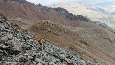
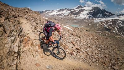
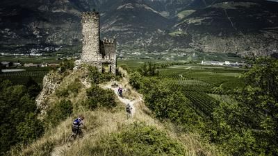
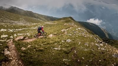
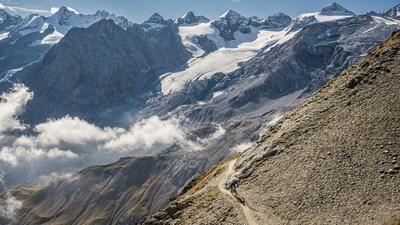
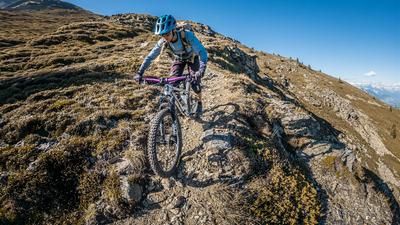
From Göflan, follow the Etsch to Laas and then climb up the "Marble Road" past Tarnell in the direction of Wandlbruch. Marble is still mined up here during the day, which gave the little road its name. Before the path winds steeply up to the rocky terrain, the tour rides downhill on the 3er trail to the Göflaner Alm. Through the Mitterwald forest, you reach the forest clearing at the Weißkaser on the 2-person trail. This is where the legendary Holy Hansen Trail begins, although the start is not always easy to find. Once you are on the trail, which was specially built for mountain bikers, you can't go wrong until you reach the road at Melanz. Here you climb a few more meters to descend from the Aigenhof, first on the 4 and then on the 17 trail to Holzbrugg.
Map & GPX-Track
The map is only available to Ride subscribers.
The Ride-Subscription is available at ride-mtb.com/abo
.
Details of the tour
29 km
1400 m
1400 m
688 above sea level
1954 above sea level
1 day
Schlanders
Schlanders
1437
well suited
More tours nearby




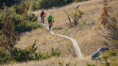


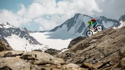


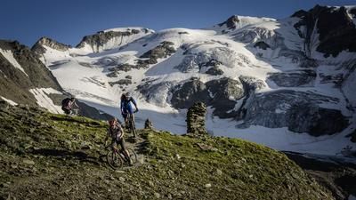
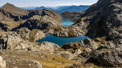







User comments (4)

About the author: Thomas Giger
Note: This content has been automatically translated from German. Please report any incorrect translations.
We rode the tour today. We were pleasantly surprised shortly before the start when the track did not follow the cycle path, but offered a small section of trail on the left side (direction of travel) of the river. After that, it was all uphill until shortly before the Göflaner Alm. A great alpine pasture and super tasty food!
After the pasture, the GPS track was quite confusing. Just follow the forest road. There are a few metres of climbing to be done. Once you reach the trail (about 10 minutes after the pasture) the fun begins. The GPS track on the Holy Hansen is no longer up to date. They have re-routed the trail. Just follow the Holly Hansen. You can't really go wrong. The trail has been reshaped at the top and is very flowy. And then a little more technical at the bottom. Before section 8 (which is no longer worthwhile. It's just bikes on gravel), crank right again for about 10-15 minutes on the tarred road and turn into the Aigen Trail. This is very well signposted. Then you are back on the GPS track from Ride. Because we enjoyed it so much, we followed the Aigen Trail even further. Really cool! At the signpost "schlauders Holzbrücke" we turned left downhill and ended up back at the starting point of the tour. You could probably ride even more trails.
Cool tour! Highly recommended!
Rode twice at the beginning of October, 10 days apart: much better and less slippery in the dust after a night of rain
checked 2018,2019
Holy Hansen