

Madritschspitze

Description
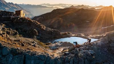
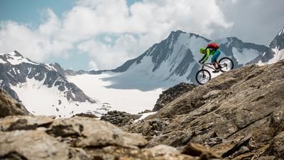
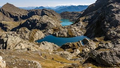
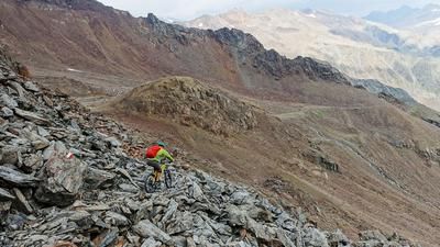
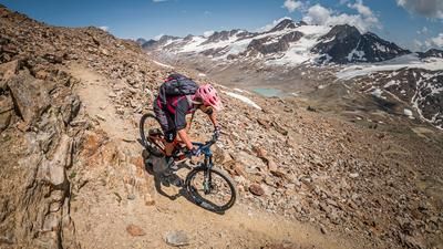
Due to the extreme length and the difference in altitude of the tour, it is advisable to organize and use a shuttle service from Latsch or Goldrain to the biathlon center and the nearby parking lot. From here, take the existing feeder road to the Zufrittstausee reservoir and continue on increasingly rough and steep terrain to the well-known Zufallhütte hut (2265 meters above sea level). From this point on, the ride is essentially over. It is only possible in sections here and meanders along the Sentiero 150 towards the Langenferner glacier and Casati hut. From a panoramic point of view, you have reached a highlight of the Alpine world. The Zufallspitze, Suldenspitze, Eisseespitze and the Hohenferner glacier surround you on the ascent and offer a deluxe alpine panorama. Below the Mutspitze, the hiking trail to the Casati hut is left to the right in the direction of the Madritschspitze. Along a barren lunar landscape, you wind your way up to 3265 meters above sea level. The increasingly thin air and the massive length of the tour demand massive reserves of strength until you finally reach the summit, which offers a breathtaking panorama. This, combined with the very thin mountain air, gives you a good reason to sit down and enjoy the mountain scenery. You should also replenish your energy reserves for the descent.
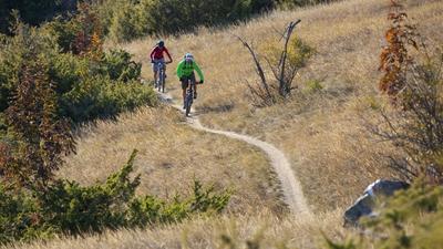
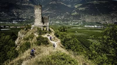
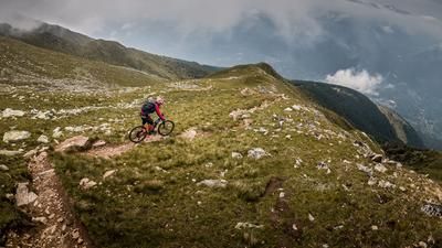
The descent trail follows the ascent route to the Zufallhütte. Difficulty S2, in places S3, is to be mastered. From the Zufallhütte hut, the route then follows the well-known trail cut-off past the Zufrittstausee reservoir and then along the Martelltal valley. The trail reaches a difficulty level of S3, in places S4. It continues out of the valley in the direction of Vintschgau, turning left again in Gand Ganda. There are around 250 meters of altitude to conquer before you reach the Steinwandhof and can enjoy a huge trail highlight. On difficulty level S2, you descend the previously gained altitude meters back down to the Marteller Talweg. You continue along this trail in the same manner before it becomes easier and easier towards the end and finally ends at the Obermontani castle near Morter in Vinschgau. Conclusion: A tour of superlatives and a bike 3000 deluxe!
Map & GPX-Track
The map is only available to Ride subscribers.
The Ride-Subscription is available at ride-mtb.com/abo
.
Details of the tour
46 km
1685 m
2700 m
719 above sea level
3185 above sea level
1 day
Latsch
Latsch
2337
not suitable
More information
More tours nearby









User comments (0)

About the author: Martin Depauli
Note: This content has been automatically translated from German. Please report any incorrect translations.