

Mastaunjoch

Description
The start is in Silandro/Schlanders. To complete the tour in a reasonable amount of time, we recommend a shuttle service to the Schnalstal Valley to Unser Frau. Otherwise, the uphill altitude meters add up to well over 2500, which makes the tour extremely long and exhausting.
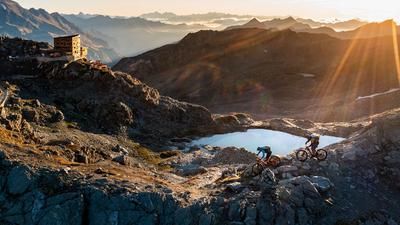
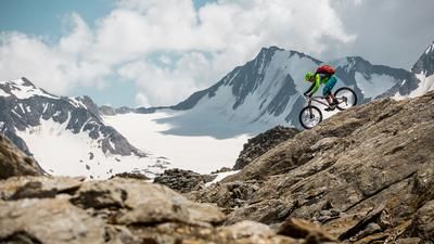
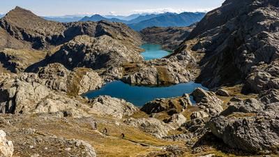
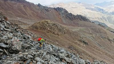
From Unser Frau, a gravel road leads up the northern slopes into the Mastauntal valley in a relaxed manner. Past the Mastaunalm, the terrain becomes increasingly rough. The rideable section ends at around 2100 m above sea level - from here, the bike is pushed or carried. The long carrying section is challenging, but the scenery is spectacular: high alpine scenery, rugged rock faces and absolute tranquillity characterize this section.
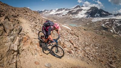
On reaching the Mastaunjoch at 2913 m above sea level, there is a view of the rugged, wild world between the Mastaun in the south and the Gerstgraserspitz in the north - a real Western Alps feeling included.
The descent begins stony and technical - difficult to ride in places - but becomes increasingly smoother. In total, the trail runs with difficulty level S2, occasionally S3, down to the Kortscher Alm. There you have already covered around 1000 Elevation loss.
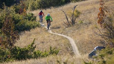
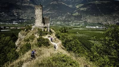
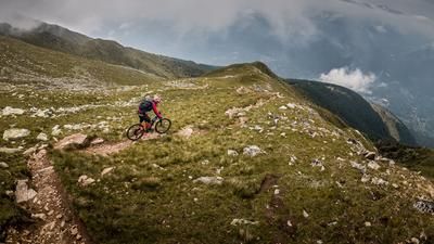
You then roll out of the valley before a counter-climb to St. Martin. Above the Höfe, after a short crossing, you enter the Flipsi Trail - a dry, scenic trail with an alpine character. Technically, this section is S2, occasionally S3, before you finally reach Schlanders again and the tour comes to an end.
Note: This tour is high alpine, demanding and only recommended in stable weather conditions. The trail section is technically demanding, especially in the upper section. Without the shuttle, you can expect an extreme length and around 2500 vertical meters of uphill - with the shuttle, the tour is reduced to 1600 vertical meters, but even in this variant it should not be underestimated in terms of fitness and riding technique.
Map & GPX-Track
The map is only available to Ride subscribers.
The Ride-Subscription is available at ride-mtb.com/abo
.
Details of the tour
29 km
1600 m
2380 m
699 above sea level
2900 above sea level
Schlanders
Schlanders
3572
not suitable
More information
More tours nearby









User comments (1)

About the author: Martin Depauli
Note: This content has been automatically translated from German. Please report any incorrect translations.
We wanted to do the tour in August 24, but unfortunately there was a no biking sign on the path to the Mastaun Alm (officially, with reference to municipal regulations, for whatever reason in the deserted valley...). The very unfriendly farmer of the Mastaun Alm strictly monitored this and prevented us from continuing on to this alpine pasture, he also didn't want to allow us to push or carry our bikes.