

Latscher Alm

Description
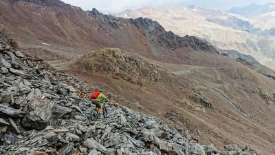
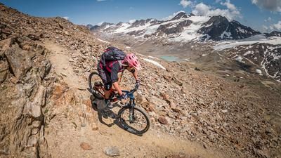
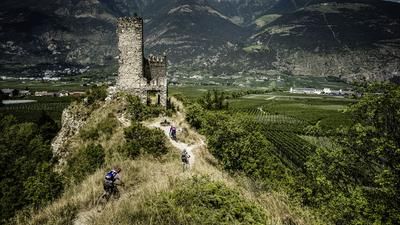
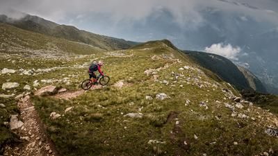
The ascent to the Tarscher Alm leads over 1000 vertical meters on a forest road through the Latscher forest to the Töbrunnhütte and has a pleasant gradient along the entire route. The following section to the Latscher Alm is largely flat, while the last few meters in altitude have to be mastered on a steep path to the Tarscher Alm on the 9er path. This is the highest point of the tour. The descent leads along the 1er trail, which is easy to ride but also has steep and technical sections in places. At Platzleng at 1330 meters above sea level, the trail ends on a forest road, which you follow uphill for 30 meters. A goods road then turns off to the right, which soon turns into a wonderful single trail. This leads downhill to the Raminiwaal trail (no. 18/18a), which you follow back to the ice rink.
Alternatives: Descent from Töbrunn via the 4-person trail
Shuttles: -
Map & GPX-Track
The map is only available to Ride subscribers.
The Ride-Subscription is available at ride-mtb.com/abo
.
Details of the tour
22 km
1330 m
1330 m
701 above sea level
1910 above sea level
1 day
Latsch
Latsch
1435
well suited
More tours nearby










User comments (2)

About the author: Thomas Giger
Note: This content has been automatically translated from German. Please report any incorrect translations.
Great hike! However, parts of the tour no longer make sense. For the descent from the Tarscher Alm, it’s better to avoid the damaged Hiking Trail No. 1 and instead take the newly built, well-marked “Barbarossa Trail” (S2). From the end of the Barbarossa Trail, turn left onto the forest road and follow the original route along the signposted Roatbrunn Trail.
Great tour, super trails, some of which are quite crisp, a strenuous push section at the top, but easy to manage.