

Eisjöchl – Spronserjoch
Description
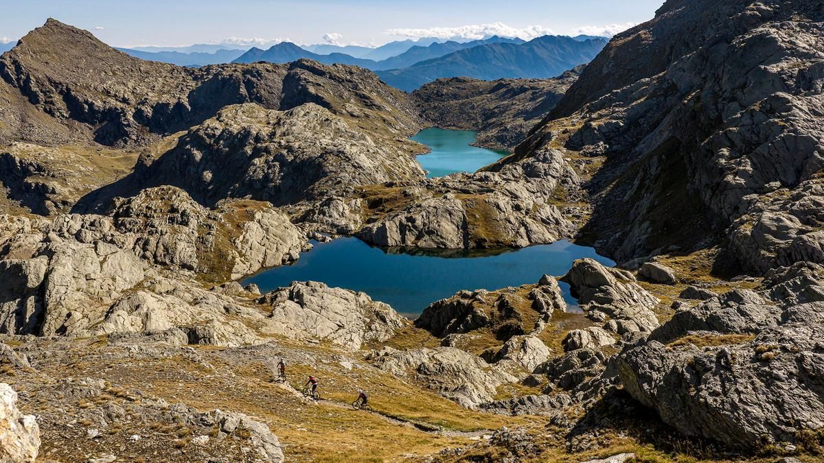
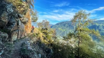
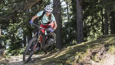
The ride begins early in the morning with a mountain bike shuttle from Naturns up to Vorderkaser, which is 1,150 meters higher. Without this shuttle, the route would have to be completed over two days. This way, you can start the climb through the Pfossental valley feeling fresh. At first, the route follows a gravel road; later, a trail winds its way up the mountain. The trail is so well-constructed that it’s rideable almost the entire way on an e-mountain bike. Relying solely on muscle power, however, pushes the limits of what’s feasible. In some sections, the trail is so neatly paved with stone slabs that it feels like riding on a floor made of large stone tiles. This brings you to the Eisjöchl and the Stettiner Hütte, located just a little below it.
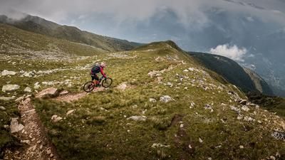
The descent from the Eisjöchl starts off rough on a fairly wide trail, almost like a cart path. Further down, it transitions into a trail that winds its way down the steep terrain in countless switchbacks. The trail is especially fun to ride in the lower section. At the end of the descent, you’re back in the Pfelderertal valley and roll down to Pfelders. Here, it’s time to recharge your batteries and plug in your e-mountain bike, because you’ve only completed half the tour.
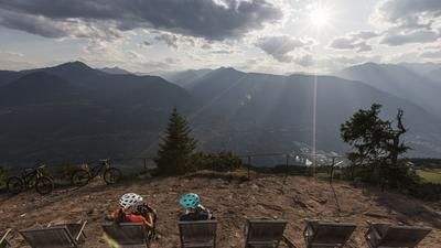
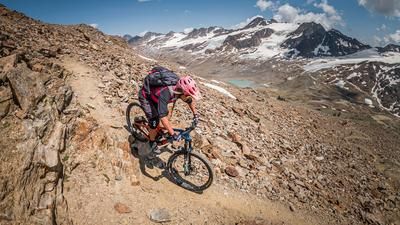
From Pfelders, you pedal up a gravel road to the Falschnal Alm and from there continue into the high valley. Eventually, the path turns into a trail, though it repeatedly leads to short sections where you have to push. With good riding technique and motor assistance, you can cover a lot of ground on the trail, almost all the way to the Falschnaljöchl. Even on an e-mountain bike, however, you’ll find yourself pushing quite often here. The final section up to the Spronserjoch is mostly a push for most riders, but it’s short. At the Spronserjoch, you won’t be able to stop marveling at the view. Across from you lie the Dolomite peaks, with the Kesselsee at your feet.
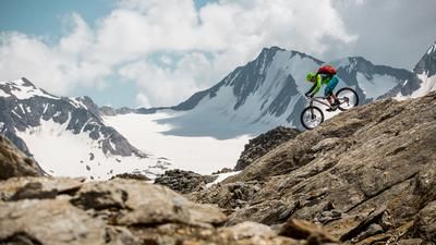
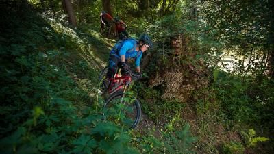
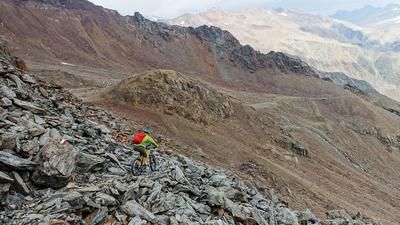
Then comes the descent, an alpine S3 gem with a few S4 sections. Above all, however, you’ll be skiing against a stunning backdrop with a constant succession of lakes appearing at different elevations. Rating: breathtaking! The route continues down to the Oberkaser Alm, where the trail becomes easier but also a bit rougher. A fast, bumpy trail leads down to the Bockerhütte; from there, the terrain smooths out and the pace picks up. Turn after turn takes you down to a gravel road. A little further down, you switch to the left side of the valley and continue the single-track thrill ride. The trail stretches seemingly endlessly downhill and finally ends at the banks of the Passer River. Time for a high-five here, then you roll along the bike path into the city center of Merano.
Map & GPX-Track
The map is only available to Ride subscribers.
The Ride-Subscription is available at ride-mtb.com/abo
.
Details of the tour
48 km
2100 m
3505 m
299 above sea level
2881 above sea level
1 day
Naturns
Meran
3817
well suited
More information
Various options before and in Pfelders
No bike shops are registered for this region. Registration as a partner takes place here.
More tours nearby















User comments (0)

About the author: Thomas Giger
Note: This content has been automatically translated from German. Please report any incorrect translations.