

Giggelberg

Description
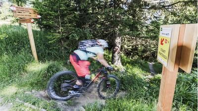
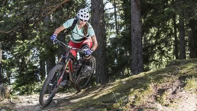
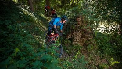
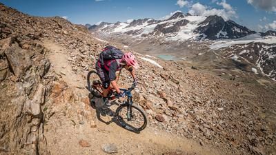
The ascent up to the Giggelberg would be easy to do with the mountain railroad if it transported bicycles. But it doesn't, so you have to master the slightly more than 900 meters in altitude under your own steam. This is not a problem, as the entire ascent from Rabland rides along an asphalt road. This is how you reach the culmination point of the tour at the Giggelberg inn just above the cable car mountain station. From now on, the route is steep and crisp towards the valley floor. The single trail through the extremely steep southern flank is challenging, rocky and interspersed with many hairpin bends - but always rideable and solidly built for good bikers. Despite its relative width, a careful choice of line is required, as the mountain flank sometimes seems to drop vertically towards Rabland. The trail is a highlight for good riders and is always at S3 level with regular S4 sections. The trail ends directly at the valley station of the cable car, where you will meet the hikers you saw earlier at the inn. They have descended by cable car - and are not to be envied...
Map & GPX-Track
The map is only available to Ride subscribers.
The Ride-Subscription is available at ride-mtb.com/abo
.
Details of the tour
15 km
980 m
980 m
621 above sea level
1575 above sea level
1 day
Rabland
Rabland
2070
well suited
More information
No bike shops are registered for this region. Registration as a partner takes place here.
More tours nearby








User comments (7)

About the author: Thomas Giger
Note: This content has been automatically translated from German. Please report any incorrect translations.
Great tour!
The ascent is quite steep at the beginning, then it continues with a pleasant gradient and great views.
The descent starts really hard with the first 50 meters of altitude, interrupted by 3 gates.
After that, it remains challenging and you can't afford to be inattentive for a second.
With the right riding technique, (almost) everything is rideable here.
Thanks for the great tour!
Did the trail today. Nice trail, lots of switchbacks, switch-backs welcome. Difficulty is not S3, however, and certainly not the S4 sections in places.
All in all, quite an OK trail.
Oh yes, I also went up from Naturns & took the panorama trail in the last bend of the Sonnenbergstrasse. This is not recommended; lots of pushing/carrying passages. The only motivation was the beer at Gasthof Giggelberg.
I was there just a few days ago.
An alpine S3 trail, just the way I like it! I took the tarred road from Naturns as an uphill route and at the last bend I joined the panoramic trail towards Giggelberg. It doesn't really make the trail any more enjoyable, but in terms of the landscape, this panoramic trail is simply a poem, especially in the fall with its countless glowing larches! The next day, trail no. 6 from Schnatzhof to Naturns was due. Rating: unfortunately awesome!
Very cool thing! Once again a really fun downhill.
Very few hikers.
The road is marked as closed on the uphill. Just ride, the rockfall has already been cleared.
Description 100% correct, history tour, super downhill trail, great panorama,
https://youtu.be/svFDYgBSyc0
A scenic tour with a challenging descent. The uphill is initially quite steep but then becomes more moderate.
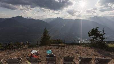
Beautiful panorama from the Giggelberg. The trail has a few tight hairpin bends but is generally easy to ride. It was easier for us than expected. The trail is quite steep at the start, but gets better further down.
For good riders, the trail is rideable throughout. Recommended for lovers of technical alpine trails.