

Knottnkino

Description
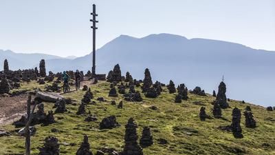
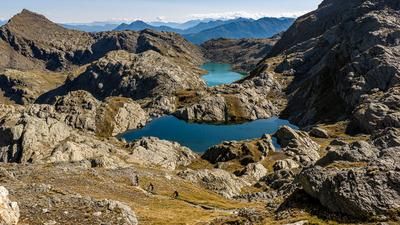
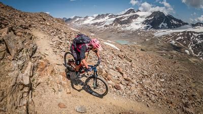
In Hafling, things get sporty right away: the ascent to Kreuzjöchli is initially asphalted, then turns into a gravel path and finally winds steeply up to the mountain ridge at Kreuzjöchl. A whopping 700 meters in altitude are conquered in this way, another hundred to the Kreuzjoch and another 80 to the Stoanernen Mandl. Then it's done, and the fascinating world of cairns and the excellent view distract from the exertions anyway. The descent to Knottnkino is next. To do this, head back to the Auener Joch, then keep left to reach the Vöraner Alm. Later, you reach the Leadner Alm on the crisp and fun 11er trail. Follow the 11er route as far as the crossing below the Rotensteinkogel. On the south side is the incomparable Knottnkino, a viewing platform with "cinema seating". This requires another short ascent, the return journey is via the same route. In an alternation of trails and small roads, you then roll along the 12er route back to Hafling.
Route: Hafling - MIttelberghöfe - Mittelbergalm - Maiseralm - Kreuzjöchl - Kreuzjoch - Auener Joch - Stoanerne Mandl - Auener Joch - Vöraner Alm - 11er-Weg - Leadner Alm - Weber - Knottnkino - Weber - Alpenrose - Hafling
Map & GPX-Track
The map is only available to Ride subscribers.
The Ride-Subscription is available at ride-mtb.com/abo
.
Details of the tour
30 km
1270 m
1270 m
1235 above sea level
2076 above sea level
1 day
Hafling
Hafling
1675
Video
More tours nearby








User comments (2)

About the author: Thomas Giger
Note: This content has been automatically translated from German. Please report any incorrect translations.
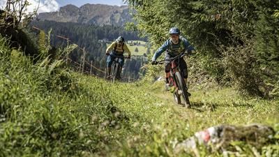
This was my introductory tour to the bike weekend yesterday - the tour is very suitable for this: Not too strenuous, great scenery and flowing trails.
I didn't discover any really difficult sections.
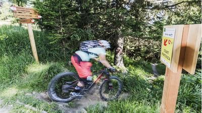
2 km from Hafling is the Wurzeralm. The Hafling trail starts from there. Lots of roots at the start, followed by a section with lots of stones and stone slabs. The lowest section is very technical and narrow. Approx. 150m. Only advisable when the roots and stones are dry. So if you are already there, highly recommended.