

Bike-Highline Meran mit Ötzi-Trail

Description
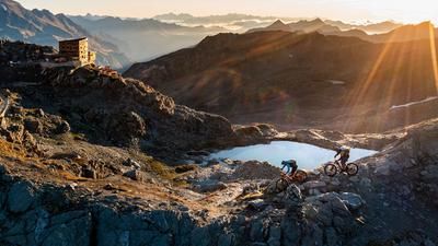
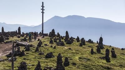
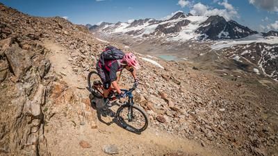
The Merano bike highline is a mountain biker's catwalk without spectators. Only a few hikers watch as mountain bikers promenade along the 25-kilometre panoramic trail from the Marzoner Alm via the Tablander Alm, Mausloch Alm and Naturnser Alm to the Vigiljoch. However, if you want to have fun not only horizontally but also vertically, don't ride all the way to the end, but take the fun "Ötzi Trail" as your destination. But first the work, then the fun! Up to the Tablander Alm from the valley town of Naturns in the Vinschgau Valley, you have to pedal 1200 vertical meters. However, once you have climbed the altitude, you can cycle from one mountain pasture to the next on the Merano bike highline. And from one Marende to the next.
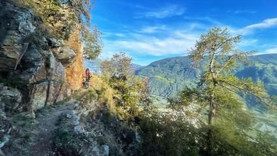
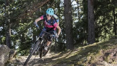
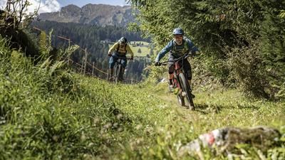
The route starts at the station bridge in Naturns (526 m). Cycle past Reinhold Messner's Juval Castle to Tschars, cross the Adige river and follow the mountain bike signs for "Tablander Alm" to the alpine pasture (1758 m). From the alpine pasture, the Merano bike highline takes you eastwards like a panoramic rollercoaster to below the Mausloch alpine pasture (1835 m). If you want, you can ride up to the beautiful mountain hut in just a few minutes. Via a nice S2 forest trail and a short section of forest path, you will reach the start of the Ötzi Trail in no time. There are some tricky S3 sections on this well-marked and well-maintained nature trail down to the extreme farms of Platzgum (1256 m) and on to the Waldschenke. This trail is mostly in the forest, so with few views, and often quite steep on the north side down towards Naturns. There are a few steep bends and kickers in the lower section, but these can be easily avoided.
Variants: If you don't fancy a 1200-metre ascent through the forest, take the cable car up to Aschbach in Rabland and ride the Merano bike highline from east to west. Downhill to the apple trees and vineyards along the Adige river, you can then choose from the four trails "Lupo", "Fontana", "Stoanbruch" and "Ötzi".
Map & GPX-Track
The map is only available to Ride subscribers.
The Ride-Subscription is available at ride-mtb.com/abo
.
Details of the tour
30 km
1330 m
1330 m
533 above sea level
1802 above sea level
1 day
Naturns
Naturns
Dj4LVW
well suited
More information
No bike shops are registered for this region. Registration as a partner takes place here.
More tours nearby








User comments (2)
Note: This content has been automatically translated from German. Please report any incorrect translations.
Beautiful tour with a great natural trail downhill.
Due to a closure for forestry work, I had to take the trail above instead of the highline - don't do that, you're almost always carrying and pushing the bike there.
Highly recommended!
I rode the tour on May 23, 2023. The description fits 100%. The Ötzitrail is really a highlight. There are no loose or easy sections. Everything is very even. I even got a cramp from riding down ;-)
Finally, the Ötziflowtail with jumps and berms. Fun to ride, not difficult.