

Glaitner Joch

Description
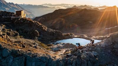
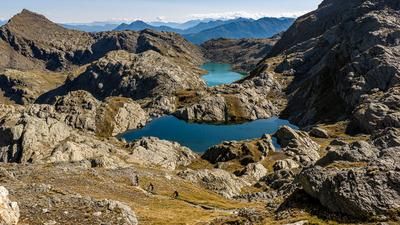
The first part of the tour is tough: from Sankt Johann, the pass road climbs endlessly towards the Jaufenpass. 18 kilometers and 1300 vertical meters add up until you reach the Römerkehre just below the Jaufenpass. Here you leave the pass road and climb another 100 meters in altitude on a concrete and gravel road up to the Fleckner Hütte. But that's not all: now the road becomes increasingly rough and finally turns into a single trail, on which you carry your bike on your shoulders for the last stretch up to the hill above the Glaitner Joch. From up here, you can see down to Sankt Johann in Passeier, the starting point of the tour, 1600 Elevation loss below. The ascent is a feat of strength and it is advisable to organize a shuttle for the sometimes busy Jaufenpass road. The ascent on an e-bike is generally possible. It is important to bear in mind that the bike has to be pushed over a steep single trail on the last section. This is possible but not for everyone.
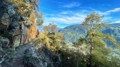
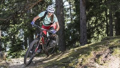
1600 meters of ascent also means 1600 meters of Elevation loss on the descent. In this case, almost entirely on singletrack. It starts with the traverse over to the Glaitner Joch and from there with a sharp left turn back towards the ridge. The upper section is a technical challenge at S4 level, but can be ridden throughout by experienced mountain bikers. Once you reach the ridge, the trail becomes easier but steeper. The trail takes a direct line down to the edge of the forest and remains true to its character: steep! In this way, you head down the wonderfully laid out 11er trail to the pass road, which you will remember from the ascent. The route then continues downhill on challenging singletrails in the S3 to S4 range, crossing the pass road several times. In this way, you reach Jaufenburg just above Sankt Leonhard and then roll relaxed into the town center of Sankt Johann to relax your tense brake fingers with a well-deserved beer.
Map & GPX-Track
The map is only available to Ride subscribers.
The Ride-Subscription is available at ride-mtb.com/abo
.
Details of the tour
29 km
1605 m
1605 m
670 above sea level
2270 above sea level
1 day
St. Leonhard im Passeiertal
St. Leonhard im Passeiertal
2061
limited
More information
No bike shops are registered for this region. Registration as a partner takes place here.
More tours nearby








User comments (0)

About the author: Thomas Giger
Note: This content has been automatically translated from German. Please report any incorrect translations.