

Riffelspitz

Description
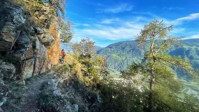
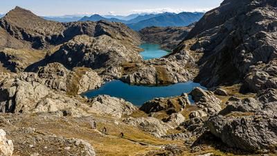
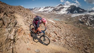
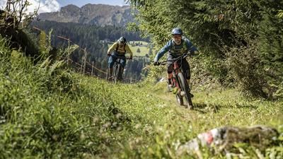
In Saltaus, you first get into the gondola and add a good 900 meters of altitude to your account. However, bike transport is only possible as far as Prenn, even though the gondola would actually ride all the way up to the Klammeben mountain station. However, bike transport is not possible here, which is why the ascent is tackled under your own steam. On a small road, first on asphalt and then soon on gravel, you cycle up the forest section. The gradient is pleasantly moderate. This takes you to the Tallner Alm, where you can now relax on a flat section. This takes you to the Hintereggalm, where the character of the tour changes. From now on, singletrack is the order of the day. First with a pushing section, then a crisp but impressive traverse over to the Riffelspitz. This section is very exposed in places, so a cautious riding style is advisable.
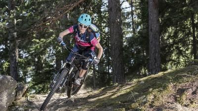
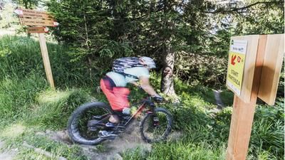
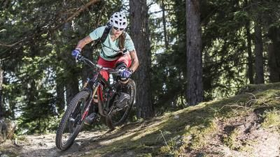
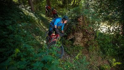
If you want to, you can climb up to the Riffelspitz summit, otherwise the descent begins at the saddle just below the summit. The first part is very challenging: steep, rocky and interspersed with many sharp hairpin bends. The difficulty here is in the S4 range. As soon as you enter the forest, the trail becomes smoother. It winds through the steep mountain flank, requires full concentration, is around S3 in terms of riding technique and is fun for experienced mountain bikers! The trail winds seemingly endlessly towards the valley, widening slightly after the Pfandler Alm. You finally reach St. Martin on a virtually non-stop trail and roll along the Passeier river back to Saltaus. Conclusion: A great singletrail tour for experienced mountain bikers who like to go steep on the descent.
Map & GPX-Track
The map is only available to Ride subscribers.
The Ride-Subscription is available at ride-mtb.com/abo
.
Details of the tour
26 km
815 m
1735 m
461 above sea level
2121 above sea level
1 day
Saltaus
Saltaus
2401
limited
More information
No bike shops are registered for this region. Registration as a partner takes place here.
More tours nearby








User comments (0)

About the author: Thomas Giger
Note: This content has been automatically translated from German. Please report any incorrect translations.