

Vermoispitze – St. Martin

Description
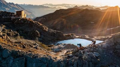
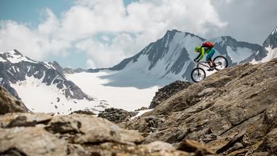
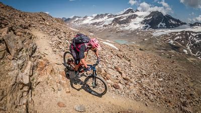
The route starts in the village of Latsch in the Vinschgau Valley. From here, you can take the cable car to St. Martin (1740 meters above sea level) or tackle the uphill via Kastelbell and the asphalt road under your own steam. From St. Martin, the route winds relatively steeply up to the so-called Rossböden. From this point, you take the 9er path and carry your bike steadily uphill. Step by step, you gain altitude and the views become ever more spectacular. A view of the Ortler group and the Martell Valley opposite opens up, giving you a glimpse of the eternal ice and the almost 4,000-metre summit. From the so-called Ochsenbühel, you briefly reach a plateau before climbing steeply up to the summit at almost 2950 meters above sea level. The 360-degree panorama on the Vermoispitze is unique. With good visibility, it is enchanting and makes you forget the exertions of the ascent.
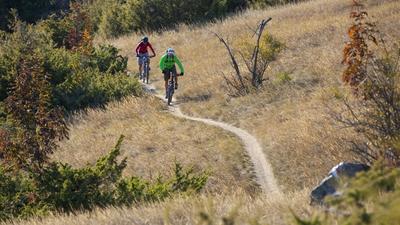
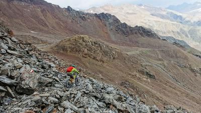
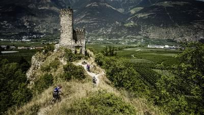
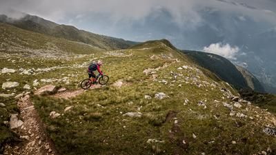
The descent is at its most difficult right from the start. Only trail experts can ride directly from the summit. Above the Ochsenbühel, it gets easier and the trail reaches difficulty level S3. Not to be underestimated with its treacherous hairpin bends and off-camber sections, the trail leads back to the Rossböden and then on to St. Martin. The flow trail to St. Martin in particular allows you to cool down your brakes for a short time before they are needed again. From St. Martin you enter the legendary Tchilli Trail. You can surf this trail on difficulty levels S1 to S2 all the way back to Latsch. Nevertheless, the descent from St. Martin should not be underestimated. There are over 2200 Elevation loss to be destroyed - so concentration is always required.
Map & GPX-Track
The map is only available to Ride subscribers.
The Ride-Subscription is available at ride-mtb.com/abo
.
Details of the tour
18 km
1080 m
2190 m
625 above sea level
2819 above sea level
1 day
Latsch
Latsch
2305
not suitable
More information
More tours nearby









User comments (0)

About the author: Martin Depauli
Note: This content has been automatically translated from German. Please report any incorrect translations.