

Bildstöckljoch

Description
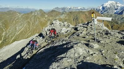
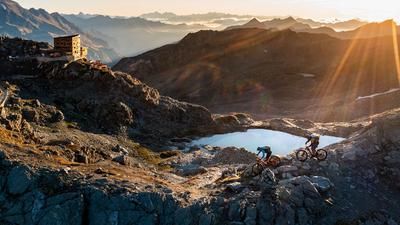
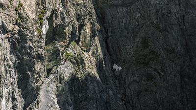
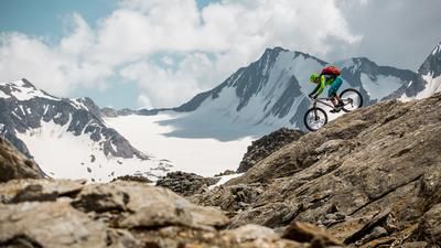
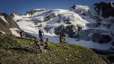
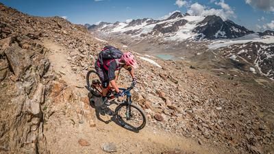
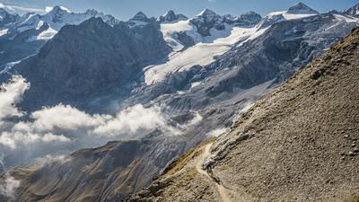
The tour is best started in Naturns. From here, take the Vinschgerbahn to Schluderns. From Schluderns, you should ideally take a shuttle up through the Matsch Valley to the Glieshof farm at the end of the road. If you still want to master the ascent under your own steam, start the tour from Schluderns along the cycle path through the Matsch Valley with its breathtaking panorama. From the Glieshof itself, the route then continues to the Matscheralm and a little into the valley floor to the Einsiedelei, where the valley station of the material cable car is located. Massive rock faces are already rising up to the left and right, giving bike adventurers hope and trepidation as to what lies ahead - it's going to be quite something! From the hermitage, the trail leads up to the Oberetteshütte (2670 meters above sea level). Here you can enjoy excellent food and overnight accommodation if you want to ride the route as a two-day tour. From the Oberetteshütte, there are still around 400 meters to climb to the Bildstöckljoch. This is, of course, only a carrying ascent and makes your heart beat faster, firstly because of the altitude (up to 3000 meters above sea level) and secondly because of the effort. Once you reach the pass itself, you realize where you have ended up. You are in the middle of a mountain paradise and glaciated conditions with views down to the Schnalstal Valley and northwards to the Hintereisferner.
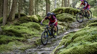
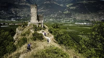
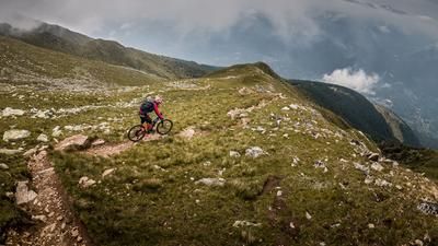
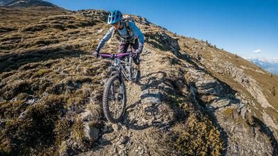
The downhill trail fun can now begin. From the Bildstöckljoch, a huge trail descent leads down to Kurzras. However, it should be noted that the bike has to be pushed in parts in the upper section; only excellent bike artists and exceptional talents can ride here. The trail becomes increasingly flowy and in Kurzras it's time to take a deep breath. Nevertheless, you take the 7a hiking trail to the Vernagt reservoir. There is still no end (to the trail) in sight from the Vernagt reservoir. We are still a good 1970 meters above sea level. We then continue around the lake on the 15er trail and all the trail cut-offs out to Karthaus. In Karthaus itself, you briefly have to take the somewhat unspectacular main road of the Schnalstal Valley before continuing towards Katharinaberg and taking the Katharina circular hiking trail, which rides to Patleit and Unterstell Hof. At Unterstell Hof (1300 meters above sea level), there are still plenty of metres of elevation gain to the valley floor at 580 meters above sea level. So full concentration and on you go. The trails meander along the south side down to Naturns and finally look back on a trail descent with 2600 meters of altitude that could not be more spectacular.
Conclusion: An absolute must if you are in Vinschgau and you like to ride high alpine trails. However, the weather should be stable, your concentration high, your motivation above average and your riding technique not too old. And always remember not to forget the stunning mountain panorama and to take plenty of breaks - after all, there are almost 38 kilometers of single trails in total.
Map & GPX-Track
The map is only available to Ride subscribers.
The Ride-Subscription is available at ride-mtb.com/abo
.
Details of the tour
46 km
1860 m
3135 m
541 above sea level
3078 above sea level
1 day
Schluderns
Naturns
2041
not suitable
More information
More tours nearby















User comments (1)

About the author: Martin Depauli
Note: This content has been automatically translated from German. Please report any incorrect translations.
An epic ride. I started from Mals “by fair means.” Up to 2,800 meters above sea level, you can mostly push your bike along at a leisurely pace. The last 300 meters of elevation gain, though, are a real challenge. Steep, narrow, and littered with boulders. In some places, a “Hook-a-Bike” comes in handy, but in others it’s too narrow, so you have to carry your bike. Not for beginners!
At the pass, the original route is closed; a new trail has been built. It starts with a traverse across a scree field. Only rideable in spots. Then it drops very steeply at first—few people ride this section. From 2,900 meters above sea level, it gets increasingly smooth. But there are still tight hairpin turns, mostly interspersed with stone steps. The difficulty level is probably around S3 to S4. Starting at 2,600 meters above sea level, the fun begins on the S2 trail down to Kurzras.
I spent the night in Kurzras and on Day 2 took the great trail from the Graue Wand. The rest of the descent from Kurzras to Naturns is still very, very long. The trails to Karthaus (S2 to S3) drag on; you have to get off your bike again and again, and there are small uphill sections. The route to the Unterstell-Hof also takes a while, and there’s another 600 meters of elevation gain on a slight uphill. The trail down, however, is a real highlight: the most beautiful Vinschgau enduro trail rated S2.
Overall, a very challenging but also absolutely rewarding tour. However, I have absolutely no idea how anyone could do this in a single day—even with a shuttle. I recommend two days with an overnight stay in Kurzras. The final trail to Naturns is simply too good to skip.