

Payerhütte / Ortler-Besteigung

Description
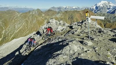
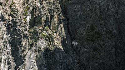
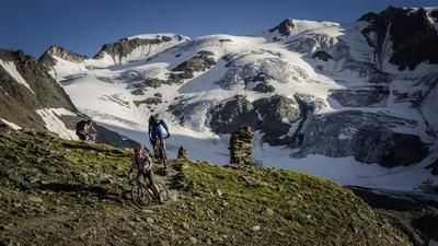
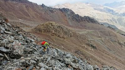
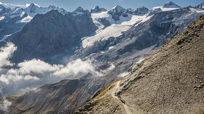
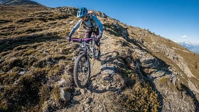
The ascent to the Payerhütte starts in Sulden and heads up the mountain road towards the Langensteinhütte (top station of the chairlift, bike transport available on request). A little before the hut, turn left onto the single trail up to the Tabaretta hut. This is rideable up to the stream crossing, after which the bike rests on your shoulders as far as the Payerhütte. 700 meters in altitude are overcome in this way, whereby the ridge path to the Tabarettascharte is exposed and narrow in places. The route is easily manageable for experienced mountain hikers, even with a bike on their shoulders, but you need to be considerate of the many hikers. The Payerhütte is located just above the Tabarettascharte and is the worthwhile destination of the tour. The descent from the Tabarettascharte leads first on the 19er and then on the 18er path to the Berglhütte. This is technically challenging but a treat for technically experienced riders against a stunning backdrop. The upcoming section down to the valley floor is steeper, rougher, rooted and wooded - a nice contrast to the high alpine character further up. Finally, you roll along small roads and the Stelvio Pass road via Trafoi to Gamagoi, where you started the tour by shuttle or bus.
Ascent of the Ortler: The tour to the Payerhütte can be perfectly combined with the ascent of the Ortler. You spend the night in the Payerhütte and climb to the summit the following day. The ascent consists of easy climbing and glacier passages. Ideally, you should climb with a mountain guide. The practical thing about this is that they have climbing harnesses, ropes, crampons and helmets in the hut. So you don't have to lug your equipment to the hut on your bike. A recommended (and mountain bike-friendly) mountain guide is Toni Stocker from "Feel the Mountains" in Sulden (www.feel-the-mountains.com).
Map & GPX-Track
The map is only available to Ride subscribers.
The Ride-Subscription is available at ride-mtb.com/abo
.
Details of the tour
22 km
1170 m
1740 m
1275 above sea level
2983 above sea level
1 day
Sulden
Gomagoi
1666
not suitable
More information
More tours nearby








User comments (1)

About the author: Thomas Giger
Note: This content has been automatically translated from German. Please report any incorrect translations.
This year (2026), we’ve included this in our Transalp tour, with an overnight stay at the Payerhütte. Simply majestic and magnificent. If you’re not afraid to tackle the climb, have sure footing, and enjoy exposed sections, you can look forward to a breathtaking descent to Trafoi the next day. Almost entirely rideable and, combined with the Stelvio Pass, the Tibet Hut, and Umbrail, it’s one of the most beautiful combinations for an Alpine crossing.